
Postcode(s) 5115 State electorate(s) Napier Postal code 5115 | Kudla Evanston South Federal division Division of Wakefield | |
 | ||
Population 694 (2011 census)401 (2006 census) Location 34 km (21 mi) from Adelaide | ||
Man stabs two home invaders kudla south australia 2013
Kudla is a locality in the northern Adelaide suburbs, 34 km from the city centre, just south of Gawler. It is in the Town of Gawler local government area.
Contents
- Man stabs two home invaders kudla south australia 2013
- Map of Kudla SA 5115 Australia
- Geography
- Transport
- References
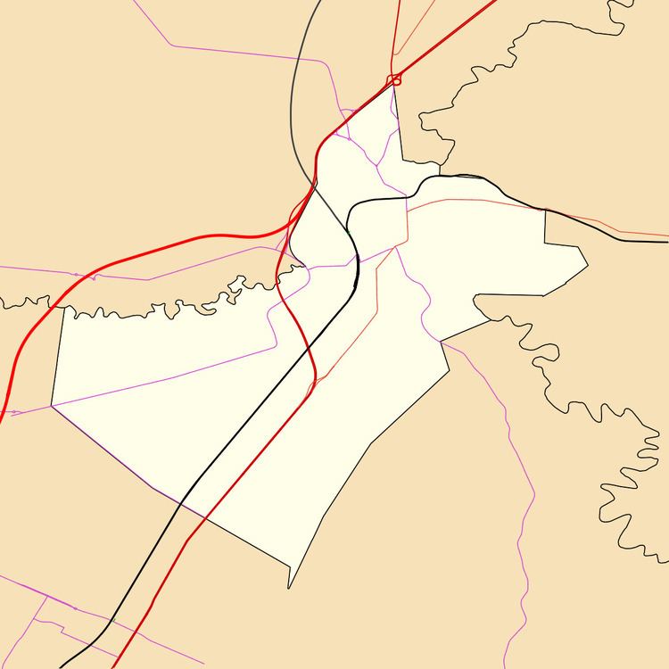
Map of Kudla SA 5115, Australia
Geography
Kudla is bounded by Main North Road, Dalkeith Road, Angle Vale Road and Gordon Road. Coventry Road is the most significant road through the area, approximately southwest to northeast. Kudla is named after the Kudla railway station, which in turn had been named from an Aboriginal word meaning level ground, open or remote. The name was approved in 1982 in preference to alternate possibilities of Dalkeith and Dalkeith Vale. Kudla is served by the Dalkeith Country Fire Service based on the south side of the Dalkeith Road and Coventry Road intersection.
Transport
Kudla is served by the Kudla railway station on the Gawler railway line and is west of Main North Road.