
 | ||
Kudelin Point (Bulgarian: нос Куделин, ‘Nos Kudelin’ \'nos ku-de-'lin) is the point on the northeast side of the entrance to Tlachene Cove on Loubet Coast, Antarctic Peninsula. The point is formed by an offshoot of Gaydari Peak, and was shaped as a result of the retreat of Hopkins Glacier during the last two decades of the 20th century.
Contents
The feature is named after the settlement of Kudelin in Northwestern Bulgaria.
Location
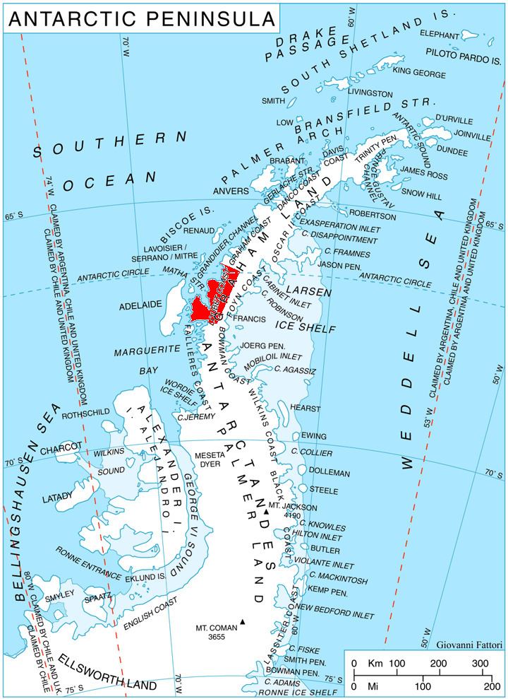
Kudelin Point is located at 66°34′50″S 65°44′02″W, which is 27.4 km east of Madell Point, 18.3 km south of Phantom Point and 2.55 km northeast of Gostilya Point. British mapping in 1976.
Maps
References
Kudelin Point Wikipedia(Text) CC BY-SA