
 | ||
Gaydari Peak (Bulgarian: връх Гайдари, ‘Vrah Gaydari’ \'vr&h gay-'da-ri) is the ice-covered peak rising to 800 m on the coast of Darbel Bay on Loubet Coast in Graham Land, Antarctica. It surmounts Darbel Bay to the west and its part Tlachene Cove to the south, and Hopkins Glacier to the southeast.
Contents
The peak is named after the settlement of Gaydari in the Northern Bulgaria.
Location
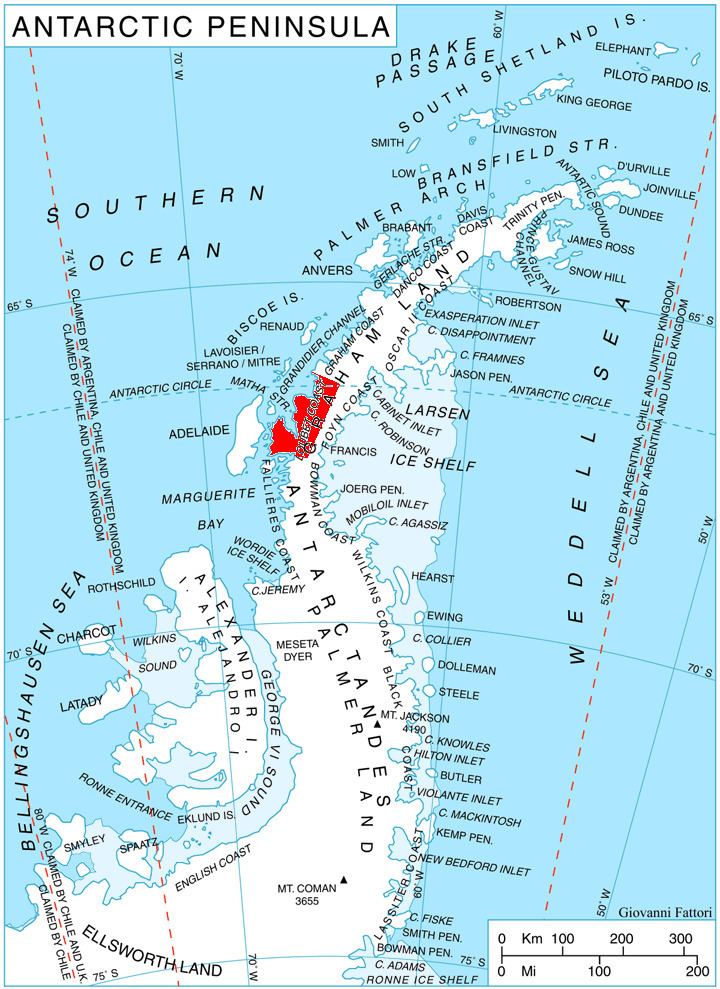
Gaydari Peak is located at 66°33′58″S 65°41′25″W, which is 16.3 km southwest of Roygos Ridge, 10.48 km west of Mount Bain and 12.5 km northwest of Voit Peak. British mapping in 1976.
Maps
References
Gaydari Peak Wikipedia(Text) CC BY-SA