
 | ||
Kubadin Point (Bulgarian: нос Кубадин, ‘Nos Kubadin’ \'nos ku-ba-'din) is the ice-covered point on the southwest side of the entrance to Linevo Cove on the southeast coast of Smith Island in the South Shetland Islands, Antarctica. The point is named after the settlement of Kubadin in Southeastern Bulgaria.
Contents
Location
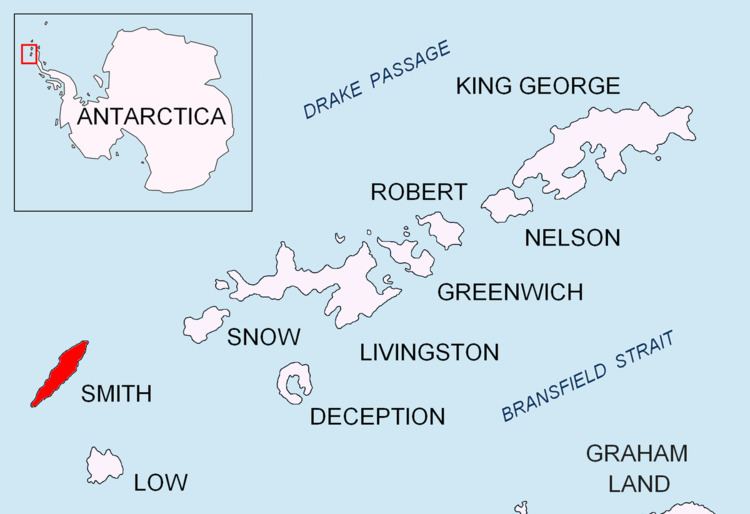
Kubadin Point is located at 62°55′42″S 62°21′42″W, which is 6.9 km southwest of Cape Smith, 10 km northeast of Sredets Point and 2.9 km southeast of Mount Christi. Bulgarian mapping in 2009 and 2010.
Maps
References
Kubadin Point Wikipedia(Text) CC BY-SA