Time zone EET (UTC+2) Local time Saturday 3:55 PM Administrative region Western Macedonia | Elevation 1,130 m (3,710 ft) Vehicle registration ΡΑ | |
 | ||
Weather 15°C, Wind W at 19 km/h, 36% Humidity | ||
Krystallopigi (Greek: Κρυσταλλοπηγή; Bulgarian: Смърдеш, Smardesh or Smrdesh, Macedonian: Смрдеш, Smrdeš) is a former community in Florina regional unit, West Macedonia, Greece. Krystallopigi means "crystal source". Since the 2011 local government reform it is part of the municipality Prespes, of which it is a municipal unit. The municipal unit has an area of 101.984 km2. The population is 359 (2011). The main village is also called Krystallopigi. After the Greek Civil War, the village was resettled with Aromanians from Epirus. Today they still form the majority of the towns population. Here is located the depopulated village Vambel.
Contents
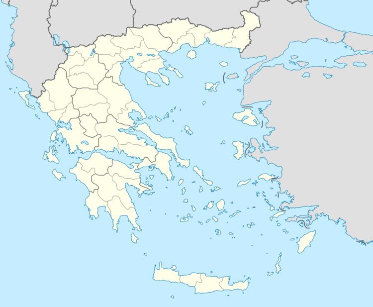
Map of Krystallopigi 530 76, Greece
Krystallopigi borders Albania to the west; Prespes municipality to the north; Korestia municipality, Kastoria regional unit, to the east and southeast; and Kastraki community, Kastoria regional unit, to the south. A major road border crossing into Albania is located here. The Albanian side of the border crossing is known as Kapshtica, 9 km east from Bilisht.
History
The village was mentioned in an Ottoman defter of 1530, under the name of Ismirdesh, and was described as having 53 households. The bigger part of the population of Smerdesh in 19th and in the beginning of 20th century was Bulgarian. There were 1780 inhabitants in 1900.
Many residents of Smardesh took part in the struggle of IMORO. There was an illegal foundry and depot for hand grenades in 1903. The village was burned by Turkish troops and Albanian irregulars in May 1903. It was plundered and burned for the second time in 1903 during the Ilinden–Preobrazhenie Uprising.
The name of the village was changed to Krystallopigi in 1926. In 1951, the village was declared entirely uninhabited, and later Vlachs from Thesprotia and from the vicinity of Preveza were settled there.
