
 | ||
Krali Marko Crag (Bulgarian: Крали Марков камък, ‘Krali Markov Kamak’ kra-'li 'mar-kov 'ka-m&k) is the rocky ridge extending 6.45 km in west-southwest to east-northeast direction, 1.57 km wide, and rising to 550 m in the east part of Voden Heights on Oscar II Coast in Graham Land. It surmounts Scar Inlet to the east. The feature is named after the settlement of Krali Marko in Southern Bulgaria.
Contents
Location
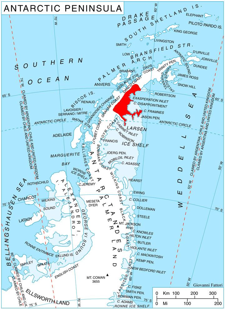
Krali Marko Crag is located at 65°51′57″S 62°30′36″W, which is 3.4 km southeast of Peleg Peak, 8.46 km southwest of Spouter Peak, 4.94 km west-northwest of Ishmael Peak, and 5.15 km northeast of Marsh Spur. British mapping in 1976.
Maps
References
Krali Marko Crag Wikipedia(Text) CC BY-SA