
District Chittoor Time zone IST (UTC+5:30) Population 6,271 (2011) | Panchayathi Kosuvaripalle Local time Friday 11:54 PM | |
 | ||
Weather 26°C, Wind S at 10 km/h, 62% Humidity | ||
Kosuvaripalle is a village in the Chittoor district of the Indian state of Andhra Pradesh. It is located in the Thamballapalle mandal.
Contents
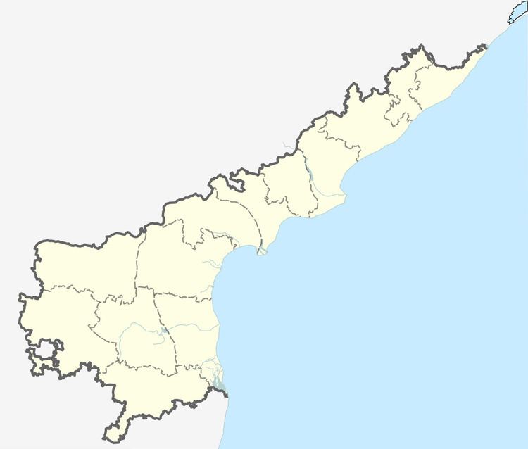
- Map of Kosuvaripalle Andhra Pradesh 517418
- Administration
- Demographics
- Economy
- Transport
- Education
- References
Map of Kosuvaripalle, Andhra Pradesh 517418
Administration
Kosuvaripalle is administered by a gram panchayat.
Demographics
As of 2011 Census of India, the village had a population of 6271. The total population village, 3080 males, 3191 females.Total House holders in the village are 1471. The average literacy rate stands at 64%.
Economy
The economy is based on agriculture and main products include tomato, mango, groundnut, tamarind and silk. Kosuvaripalle is famous for agricultural products such as tomato, mango, groundnut, tamarind ,mulberry etc.,Tomatoes and other agriculture products from here are supplied to the Madanapalle Market.Kosuvari Palle is also famous for custardapple, which are to come by surrounding hills and agricultural fields.
Transport
Kosuvaripalle is very well connected by road. State owned APSRTC buses run from Madanapalle.
Education
ZPH School is the oldest educational institute, it was founded in earlier 60's. There are many MPP Schools in Kosuvaripalle surrounding villages.