Time zone IST (UTC+5:30) District Chittoor district | Talukas Thamballapalle Vehicle registration AP | |
 | ||
Thamballapalle is a village And Mandal headquarters in Chittoor district of the Indian state of Andhra Pradesh. It is located in Thamballapalle mandal.
Contents
- Map of Thamballapalle Andhra Pradesh 517418
- Etymology
- Demographics
- Administration
- Economy
- Transport
- References
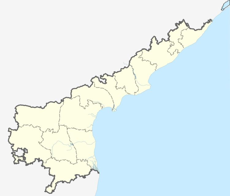
Map of Thamballapalle, Andhra Pradesh 517418
Etymology
The name of the Village was originally Thamballa Halli which changed to "Thamballa Palle". It is one of the biggest Administrative division of Chittoor district.
Demographics
As of 2011 Census of India, the Village had a population of 8,416 and 4,100 males, 4,316 females and 841 children, in the age group of 0–6 years. The average literacy rate stands at 67.16% with 5652 literates.
Administration
The village is administered by a gram panchayat, and is also the headquarters of an eponymous mandal.
List of villages Under Thamballapalle Mandal:
Thamballapalle is also the name of an assembly constituency in Andhra Pradesh and the constituency number is 281. List of mandals under Thamballapalle assembly constituency:
Economy
The economy is based on agriculture and main products include tomato, mango, groundnut, tamarind and silk. Thamballa Palle is famous for agricultural products such as tomato, mango, groundnut, tamarind etc., The tomatoes from here are supplied to the Madana Palle Tomata Market.
It is also famous for silk. Thamballa Palle surroundings have enormous reserves of granite and Iron.
Transport
Thamballa Palle is very well connected by road. There is one Bus terminal in Thamballa Palle. State owned APSRTC buses run to different parts of the Thamballa Palle surrounding Villages and also Madana Palle,nearest Railway Station is Kurabalakota Railway Station where only Passenger trains stops.
