
Country Language spoken Oriya | State District Koraput | |
Koraput (????????) is a town and a Notified Area Council in Koraput district in the Indian state of Odisha.
Contents
- Map of Koraput
- Side trip of sonbeda koraput odisa
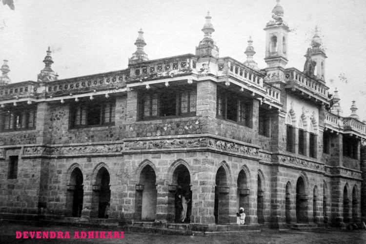
- Jagannath temple koraput
- History
- Geography
- Economy
- References
Map of Koraput
Side trip of sonbeda koraput odisa
Jagannath temple koraput
History
The district of Koraput derives its name from its headquarters the present town of Koraput. In ancient times when the Nalas were ruling over this tract, Pushkari near modern Umarkot was the capital city. In the medieval period Nandapur developed as the capital under the Silavamsi kings and sometimes under the kings of the Solar dynasty. Vikram Dev of the Solar dynasty shifted his headquarters to Jeypore about the middle of the 17th century and this town prospered as the capital. Koraput was chosen by the British in 1870 for better health prospects. The origin of the name of Koraput is obscure. There are several theories, none of which are convincing.
According to Mr. R.C.S.Bell the name of the town is ‘Kora-Putti’ or”the hamlet of the nux-vomica” and it is derived presumably from a tree or trees that must at one time have been prominent near the site. But today not a single tree of nux-vomica is to be found near about the town of Koraput and so the assumption or Mr. Bell is open to question.
According to second theory, Koraput is corrupted form of ‘Karaka pentho’ Karaka literally mans ‘hail-stone’. It is also believed that one ‘Khora Naiko’ laid foundation of the village during the time of Nandapur kings. He hailed probably from Ranpur and served under the Nandapur kings in the Militia, and for his faithful and meritorious services he has permitted to establish this village which was named after him as Khora Putu, and later on the name has been abbreviated to ‘Koraput’.
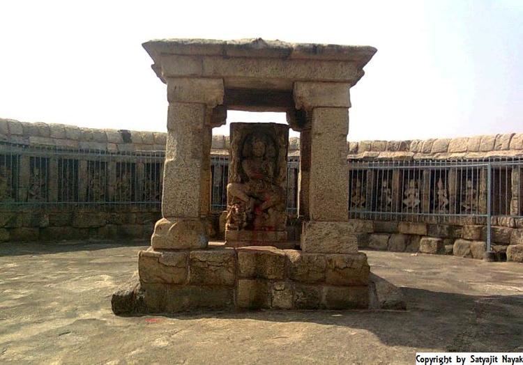
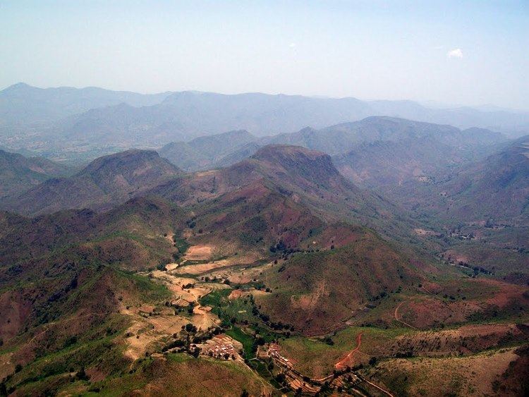
Koraput is also a Tourism Place.The town is surrounded by mountains, thick forests and waterfalls.
Marking a social success for others to emulate, the past two years, around 220 tribal villagers of the non-descript Bondaguda village under Similiguda block in the district has become totally free of open defecation with each of its 45 families constructing toilets in their homes.
Geography
Koraput is located at 18.82°N 82.72°E? / 18.82; 82.72. It has an average elevation of 870 metres (2854 feet).
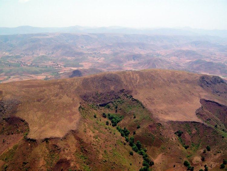
Some major rivers of Odisha pass through the district Koraput like Machhakunda, Bansadhara and Kolab. This district is also bestowed with waterfalls like Duduma, Bagra and Khandahati. It also contains the largest mountain of Odisha, called Deomali along with Chandragiri mountain. Koraput district is famous for the important places like Jeypur, Duduma, Bagra, Sunabeda MiG factory.Koraput holds a total area of 8,807 km2.According to 2011 census, with a total population of 13,79,647, the district has a literacy rate of 36.20%. Koraput is dependent on agricultural activities. The district has total cultivable land of 3,01,000 hectares.With a 157 km long national highway the district is well connected to all the other districts of Odisha. Gupteswar, Neelabadi, Nandapur, Sunabeda, Duduma water fall, [Savra shrikhetra], Ankadeli forms the major interests of Koraput.
Economy
The Engine division of Hindustan Aeronautics Limited (HAL), a defence enterprise of the Government of India, is located at Sunabeda, 15 km from Koraput town. This factory manufactures aircraft engines for MiG and Sukhoi fighter aircraft. The HAL factory employs 6,000 engineers and technicians, all of whom reside in the township next to the factory.