Topo map Google topographic map Elevation 1,672 m | Easiest route Hike / scramble | |
 | ||
Similar Eastern Ghats, Mahendragiri, Malayagiri, Sandakphu, Anamudi | ||
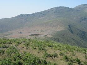
Deomali, is a mountain peak in the Chandragiri-Pottangi subrange of the Eastern Ghats. It is located near Koraput town in the Koraput district of southern Odisha, India.
Contents
Map of Deomali, Barakutni, Odisha 763008
Highest point in Odisha
At 1672 m Deomali is the highest mountain peak in the state of Odisha. It is also one of the tallest peaks of the Eastern Ghats. The peak has a good surrounding scenery.
References
Deomali (mountain) Wikipedia(Text) CC BY-SA
