
Vehicle registration TP Regional unit Arcadia | Time zone EET (UTC+2) Local time Friday 8:52 AM | |
 | ||
Weather 6°C, Wind N at 2 km/h, 80% Humidity | ||
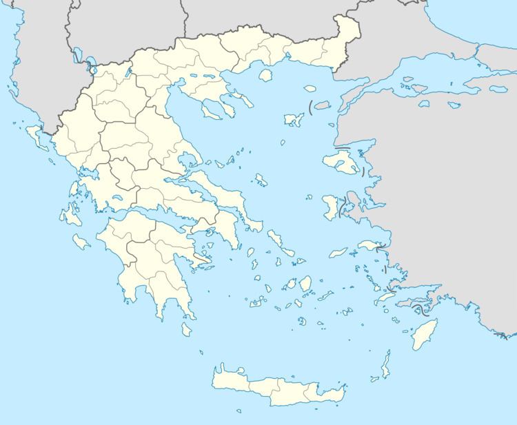
Kontovazaina (Greek: Κοντοβάζαινα) is a village and a former municipality in Arcadia, Peloponnese, Greece. Since the 2011 local government reform it is part of the municipality Gortynia, of which it is a municipal unit. The municipal unit has an area of 137.496 km2. In 2011 its population was 386 for the village and 1,171 for the municipal unit. Achaea borders the municipal unit to the north and Elis to the west. It is situated in mountainous northwestern Arcadia, between the rivers Erymanthos and Ladon. The Ladon reservoir is in easternmost part of the municipal unit, and the mountain Afrodisio (1,447 m elevation) is in the north. The village Kontovazaina is situated in a valley, 3 km north of the Ladon. It is considered a traditional settlement.
Contents
Map of Kontovazaina 220 15, Greece
Subdivisions
The municipal unit Kontovazaina is subdivided into the following communities (constituent villages in brackets):