Country Burma Elevation 1,593 m | Time zone MST (UTC+6.30) Local time Friday 12:03 PM | |
 | ||
Weather 23°C, Wind SW at 13 km/h, 35% Humidity | ||
Konkyan Township or Kongyan Township (Burmese: ကုန်းကြမ်းမြို့နယ်) is a township located within Laukkaing District, Shan State, Myanmar. It is also part of the Kokang Self-Administered Zone. The capital town is Konkyan.
Contents
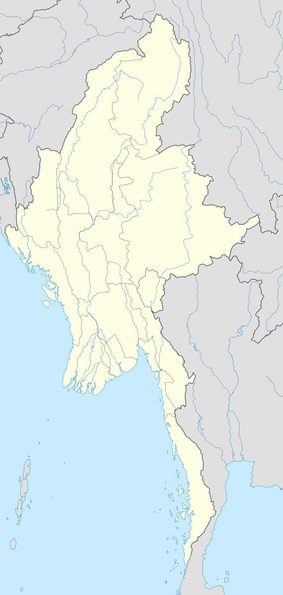
Map of Konkyan, Myanmar (Burma)
Geography
It is sharing a border with Laukkaing Township. It is situated at 1,593 metres (5,226 ft) above sea level. The remaining area is mainly mountainous.
Rubber, lychee, mango, walnut and pear are grown in this area as poppy substitutes. Sugarcane, pineapple, corn, buckwheat, soybean and various vegetables are also grown.
References
Konkyan Township Wikipedia(Text) CC BY-SA
