
Country Burma Time zone MST (UTC+6.30) | Elevation 991 m | |
 | ||
Laogai District (Burmese: လောက်ကိုင်ခရိုင်) is a district of the Shan State in Myanmar. It consists 2 towns and 333 villages.
Contents
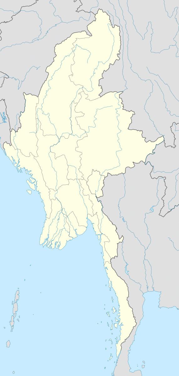
Map of Laukkaing, Myanmar (Burma)
It is Kokang Self-Administered Zone according to Myanmar Constitution (2008).
Townships
The district contains the following townships:
References
Laukkaing District Wikipedia(Text) CC BY-SA