
 | ||
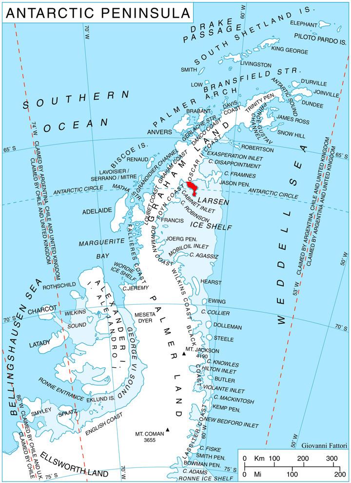
Koledari Knoll (Bulgarian: Коледарска могила, ‘Koledarska Mogila’ ko-le-'dar-ska mo'gi-la) is the rocky ridge extending 1 km in north-northwest to south-southeast direction, 320 m wide, and rising to 350 m on Foyn Coast in Graham Land. It is situated in the north part of Churchill Peninsula, overlooking Adie Inlet to the northeast and Scar Inlet to the southwest. The feature is named after the Bulgarian folkloric ritual of ‘Koledari.’
Contents
Location
Koledari Knoll is located at 66°22′59″S 62°54′58″W, which is 12.8 km southeast of Swift Peak, 17.9 km south of Filip Totyu Nunatak, and 20.9 km northwest of Slav Point. British mapping in 1974.
Maps
References
Koledari Knoll Wikipedia(Text) CC BY-SA