
 | ||
Filip Totyu Nunatak (Bulgarian: нунатак Филип Тотю, ‘Nunatak Filip Totyu’ \'nu-na-tak 'fi-lip 'to-tyu) is the rocky ridge extending 3.9 km in north-south direction, 960 m wide, and rising to 650 m on Oscar II Coast in Graham Land. It overlooks Adie Inlet to the southeast. The feature is named after Filip Totyu (Todor Stanchev, 1830-1907), a leader of the Bulgarian liberation movement, in connection with the settlement Filip Totevo in Northern Bulgaria.
Contents
Location
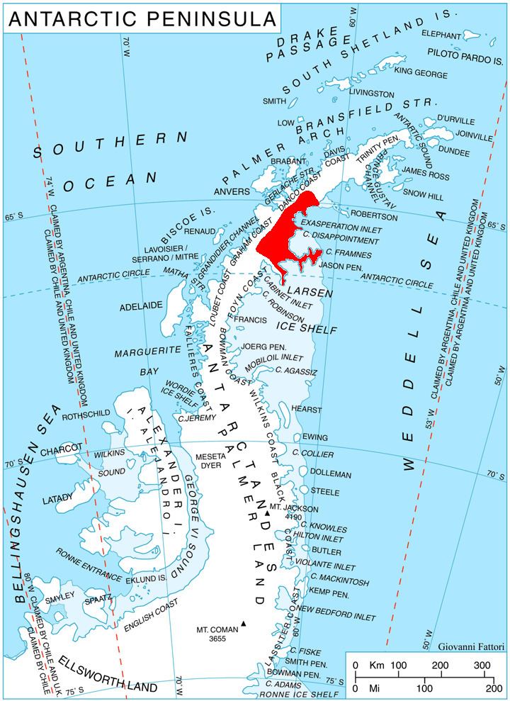
Filip Totyu Nunatak is located at 66°13′31″S 62°55′03″W, which is 29.78 km southeast of Mount Lagado, 10.36 km west-southwest of Gulliver Nunatak, and 11.1 km northeast of Swift Peak. British mapping in 1974.
Maps
References
Filip Totyu Nunatak Wikipedia(Text) CC BY-SA