Time zone IST (UTC+5:30) Area 250 ha Area code 0467 | District Kasaragod PIN 671531 Local time Friday 3:09 AM | |
 | ||
Weather 27°C, Wind N at 5 km/h, 83% Humidity | ||
Kolavayal is a place in Ajanur village in Kanhangad town, Kasaragod district, Kerala, India. It is a coastal place.
Contents
- Map of Kolavayal Kanhangad Kerala 671531
- Constituent villages
- Education
- Economy
- Transportation
- References
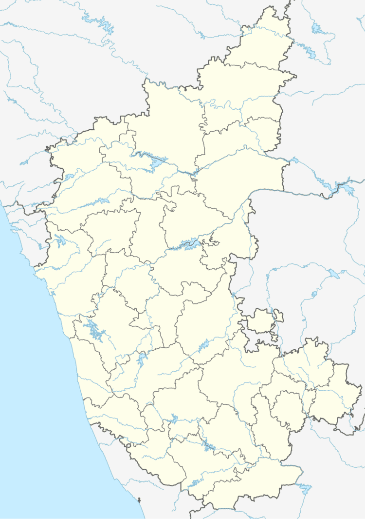
Map of Kolavayal, Kanhangad, Kerala 671531
Constituent villages
The area consist of villages Ittammal, Bangla area, Main Kolavayal, Thayal Kolavayal, Kattadi, Muttumthala, Palayi & Kothikkal. The area is Muslim predominant area. There are many mosques and temples in these areas.
Education
The schools in this area are Iqbal Higher Secondary School and Crescent English Medium School.
Economy
Many of the people have migrated to Gulf for their livelihood.
Transportation
Local roads have access to NH.66 which connects to Mangalore in the north and Calicut in the south. The nearest railway station is Kanhangad on Mangalore-Palakkad line. There are airports at Mangalore and Calicut.
References
Kolavayal Wikipedia(Text) CC BY-SA
