
 | ||
Kokora Glacier (Bulgarian: ледник Кокора, ‘Lednik Kokora’ \'led-nik ko-'ko-ra) is the 13 km long and 1.5 km wide glacier in Stevrek Ridge, Aristotle Mountains on Oscar II Coast in Graham Land. It flows 11 km eastwards between two parallel branches of the ridge, then turns southeast to join Melville Glacier. Named after the settlement of Kokora in Southern Bulgaria.
Contents
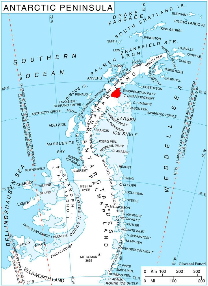
Map of Kokora Glacier, Antarctica
Location
Kokora Glacier is located at 65°26′55″S 62°25′00″W. British mapping in 1976.
Maps
References
Kokora Glacier Wikipedia(Text) CC BY-SA