
Airport type Public 13/31 5,007 Elevation 17 m | Elevation AMSL 56 ft / 17 m Code RKD Phone +1 207-594-4131 | |
 | ||
Website KnoxCountyMaine.gov/... Address 19 Airport Rd, Owls Head, ME 04854, USA | ||
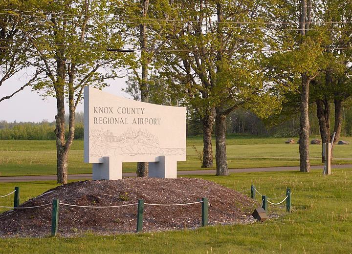
Landing at knox county regional airport rockland maine
Knox County Regional Airport (IATA: RKD, ICAO: KRKD, FAA LID: RKD) is a county owned, public use airport in Knox County, Maine, United States. It is located three nautical miles (6 km) south of the central business district of Rockland, Maine. The airport serves the residents of midcoast Maine with commercial and charter aviation services. Scheduled airline service is subsidized by the Essential Air Service program. It is also a major hub of freight and mail service to Maine's island communities including Matinicus, North Haven and Vinalhaven.
Contents
- Landing at knox county regional airport rockland maine
- History
- Facilities and aircraft
- Airlines and destinations
- References
As per Federal Aviation Administration records, the airport had 13,866 passenger boardings (enplanements) in calendar year 2008, 14,461 enplanements in 2009, and 17,657 in 2010. It is included in the National Plan of Integrated Airport Systems for 2011–2015, which categorized it as a primary commercial service airport (more than 10,000 enplanements per year).
During the summer months, the airport is one of Maine's busiest, with significant private jet operations bringing visitors to the numerous summer colonies in the Penobscot Bay region. The influx in traffic in recent years prompted the implementation of a voluntary night curfew on arrivals and departures between 10:30 p.m. and 6:00 a.m.
Owls Head Transportation Museum is also situated at the airport on an older (abandoned) third runway. It has a museum of antique autos, aircraft, and engines. During the summer special event gatherings are held for enthusiasts.
History
The airport was built during World War II and became locally known as the "Ash Point Naval Air Station" while officially operating as Rockland Naval Auxiliary Air Facility (NAAF) from April 15, 1943 until February 1, 1946. With the familiar triangle of runways (the third runway was discontinued in the 1970s) it was one of a string of military airports along the Maine coast supporting operations of Naval Air Station Brunswick.
After the war, it was operated by the City of Rockland until 1968. It was then turned over to Knox County and renamed Knox County Regional Airport. Since that time, the airport has been developed, the runways expanded, and an Instrument Landing System (ILS) was installed.
Facilities and aircraft
Knox County Regional Airport covers an area of 538 acres (218 ha) at an elevation of 56 feet (17 m) above mean sea level. It has two asphalt paved runways: 13/31 is 5,007 by 100 feet (1,526 x 30 m) and 3/21 is 4,000 by 100 feet (1,219 x 30 m).
For the 12-month period ending July 31, 2010, the airport had 55,125 aircraft operations, an average of 151 per day: 76% general aviation, 18% air taxi, 5% scheduled commercial, and <1% military. At that time there were 79 aircraft based at this airport: 95% single-engine, 3% multi-engine, 1% jet, and 1% helicopter.
Airlines and destinations
The following airlines offer scheduled passenger service: