
 | ||
Kleptuza Glacier (Bulgarian: ледник Клептуза, ‘Lednik Kleptuza’ \'led-nik klep-'tu-za) is a 6 km long and 6 km wide glacier draining the east slopes of Mount Hector in the Trojan Range and the north slopes of Osterrieth Range on Anvers Island in the Palmer Archipelago, Antarctica. Situated southeast of Thamyris Glacier and west of Altimir Glacier. Flowing northwards to enter Fournier Bay east of Madzharovo Point and west of Studena Point.
Contents
Map of Kleptuza Glacier, Antarctica
The glacier is named after the karst spring of Kleptuza in southern Bulgaria.
Location
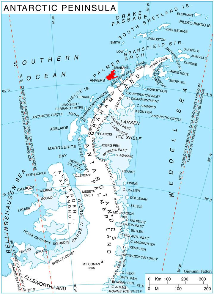
Kleptuza Glacier is located at 64°36′00″S 63°16′00″W. British mapping in 1980.
Maps
References
Kleptuza Glacier Wikipedia(Text) CC BY-SA