
 | ||
Altimir Glacier (Bulgarian: ледник Алтимир, ‘Lednik Altimir’ \'led-nik al-ti-'mir) is a 4.8-kilometre (3.0 mi) long and 5.5-kilometre (3.4 mi) wide glacier draining the north slopes of the Osterrieth Range on Anvers Island in the Palmer Archipelago, Antarctica. It flows northwards to enter Dalchev Cove in Fournier Bay east of Studena Point.
Contents
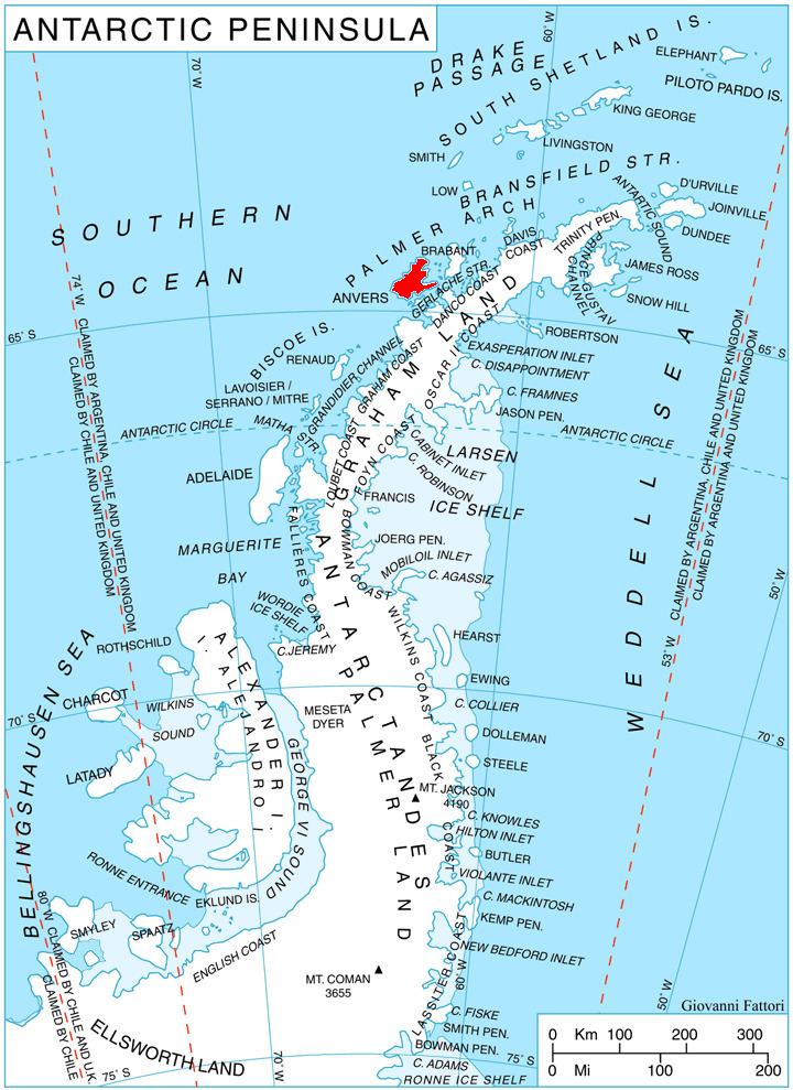
Map of Altimir Glacier, Antarctica
The glacier is named after the settlement of Altimir in northwestern Bulgaria.
Location
Altimir Glacier is located at 64°35′50″S 63°09′00″W. It was mapped by the British Directorate of Overseas Surveys in 1980.
Maps
References
Altimir Glacier Wikipedia(Text) CC BY-SA