Elevation 548 m (1,798 ft) Vehicle registration AX | Time zone EET (UTC+2) Local time Thursday 6:17 AM | |
 | ||
Weather 4°C, Wind S at 0 km/h, 94% Humidity | ||
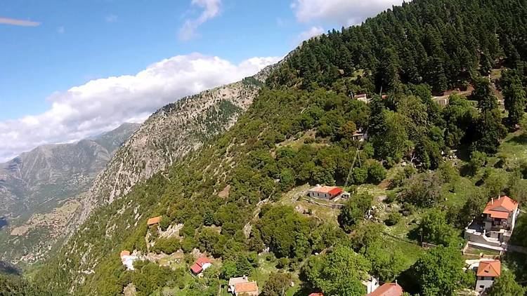
Kleitoria (Greek: Κλειτορία) is a village and a municipal unit in Achaea, Peloponnese, Greece. It was also the new name of the former municipality Lefkasio, of which it was the seat, between 2008 and 2011. Since the 2011 local government reform it is part of the municipality Kalavryta, and became a municipal unit of this municipality. The municipal unit has an area of 253.221 km2. The ancient city of Kleitor is nearby.
Contents
Map of Kleitoria 250 07, Greece
Subdivisions
The municipal unit Kleitoria is subdivided into the following communities (constituent villages in brackets):
References
Kleitoria Wikipedia(Text) CC BY-SA
