
Population 434 Civil parish Kirby Cane Area 6.13 km² Local time Tuesday 4:20 PM | OS grid reference TM373941 Sovereign state United Kingdom | |
 | ||
Weather 15°C, Wind W at 21 km/h, 71% Humidity | ||
Waveney harriers kirby cane 29th october 2016
Kirby Cane is a village and civil parish situated two miles (3.2 km) north-west of Beccles in Norfolk. It covers an area of 6.13 km2 (2.37 sq mi) and had a population of 375 in 152 households at the 2001 census, the population increasing to 434 in 179 households at the 2011 Census.
Contents
- Waveney harriers kirby cane 29th october 2016
- Map of Kirby Cane UK
- Firefighters attend a fire in kirby cane near beccles
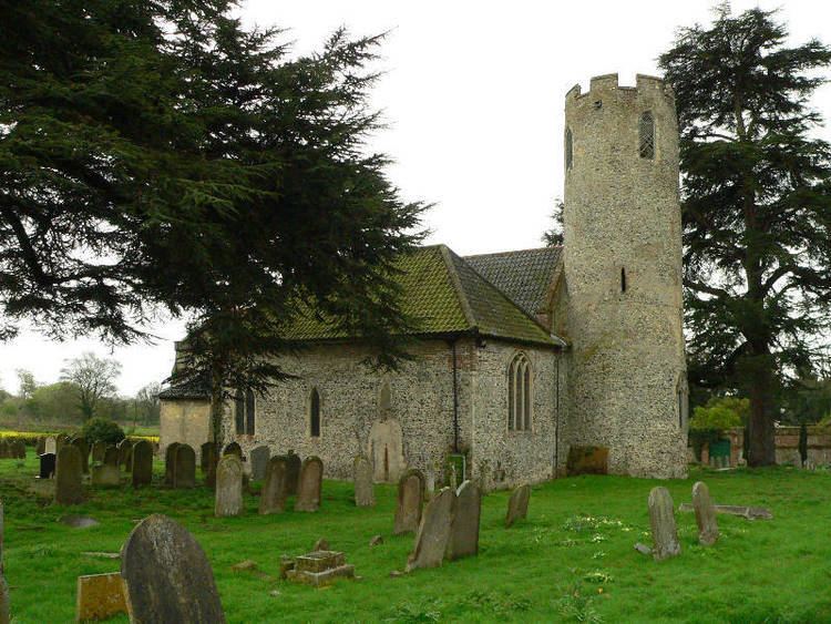
- Church of All Saints
- References
Map of Kirby Cane, UK
Firefighters attend a fire in kirby cane near beccles
Church of All Saints
The church of Kirby Cane is one of 124 existing round-tower churches in Norfolk, and is a Grade I listed building [1].
References
Kirby Cane Wikipedia(Text) CC BY-SA