Country Canada Time zone MST (UTC-7) Elevation 610 m Population 276 (2011) | Highways 2 Area 61 ha Local time Tuesday 9:11 AM | |
 | ||
Weather -4°C, Wind SE at 8 km/h, 84% Humidity | ||
Kinuso is a hamlet in northern Alberta, Canada within Big Lakes County, and surrounded by the Swan River First Nation reserve. It is located approximately 48 kilometres (30 mi) west of Slave Lake and 71 km east of High Prairie along Highway 2, south of the southern shore of Lesser Slave Lake.
Contents
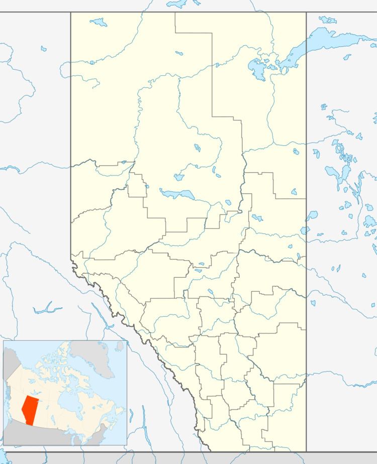
Map of Kinuso, AB, Canada
The name Kinuso comes from the Cree word kinosew, meaning fish.
Kinuso was incorporated as a village until it dissolved on September 1, 2009.
Demographics
As a designated place in the 2016 Census of Population conducted by Statistics Canada, Kinuso recorded a population of 182 living in 77 of its 102 total private dwellings, a change of 2998659000000000000♠−34.1% from its 2011 population of 276. With a land area of 0.59 km2 (0.23 sq mi), it had a population density of 308.5/km2 (798.9/sq mi) in 2016.
In the 2011 Census, Kinuso had a population of 276 living in 109 of its 116 total dwellings, a 26.0% change from its 2006 population of 219. With a land area of 0.61 km2 (0.24 sq mi), it had a population density of 452/km2 (1,172/sq mi) in 2011.
