
Population 704 (in 2011) Civil parish Kington St Michael Local time Tuesday 1:16 PM | OS grid reference ST902776 Unitary authority Dialling code 01249 | |
 | ||
Weather 14°C, Wind W at 24 km/h, 76% Humidity | ||
Kington st michael church flyover quadcopter video
Kington St Michael is a village and civil parish about 3 miles (4.8 km) north of Chippenham in Wiltshire, England.
Contents
- Kington st michael church flyover quadcopter video
- Map of Kington St Michael UK
- Location
- History
- Architecture
- Amenities
- Notable people
- References
Map of Kington St. Michael, UK
Location
Kington St Michael is about 0.7 miles (1.1 km) west of the A350 which links Chippenham with junction 17 of the M4 motorway; the village is about 1.5 miles (2.4 km) southwest of the junction.
It is largely a linear village based on its main street, which runs from southeast to northwest, where Honey Knob Hill leads into open countryside towards Grittleton.
The nearby Easton Piercy is a hamlet and part of the parish.
History
There is evidence of habitation of the area in the New Stone Age and Bronze Ages. The first named settlement dates to about AD 934, when it was known as "Kington". Later known as "Kington Minchin" during the early existence of Kington St. Michael Priory, it became "Kington St Michael" in 1279 when the church was rededicated to St Michael.
A market cross was adjacent to the Priory and according to Aubrey, sold staple foods. A Michaelmas Fair was also noted for its "ale and geese".
The main activity in the village was agriculture for many years, although there is some evidence of a small textile industry. In about 1760 the Chippenham to Malmesbury road (now the A350) was made a turnpike, and Kington benefited from the increase in traffic, by the end of the 18th century supporting "tailors, two blacksmiths and a carpenter ... [and] a slaughterhouse, malthouse and public house". By 1851 the range of occupations reported in the village had expanded further.
Architecture
The Church of England parish church of St Michael is Grade II* listed. The church is from the 13th century, with a chancel arch of c. 1150 and an 18th-century tower. Restoration in 1858 by J.H. Hakewill led Pevsner to describe the church as "terribly over-restored".
Priory Manor, also Grade II* listed, dates from the 15th and 17th centuries and incorporates parts of the former priory.
Amenities
Kington St Michael Club was opened in 1923, extended and improved in the late 1980s and underwent renovation in 2003.
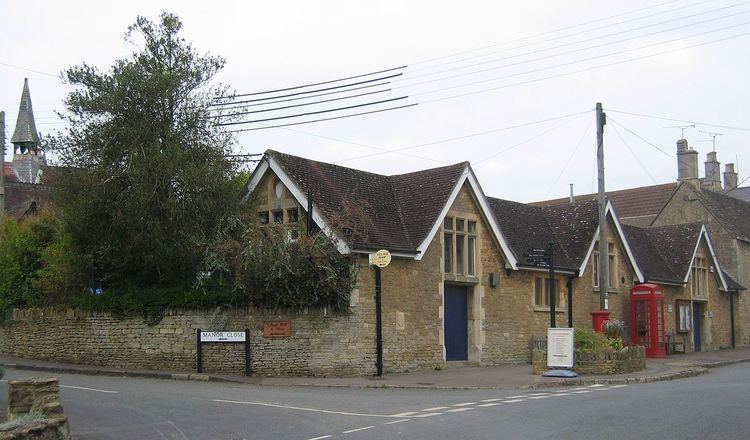
Following the closure of the local Post Office in April 2008, there is now a community owned shop, staffed by volunteers, operating from part of the village hall and providing local produce and an off-licence. It is staffed mainly by local residents and also offers PostPoint postal facilities.
The village has a primary school, Kington St Michael Church of England School, a voluntary controlled school with a catchment area that includes the village itself and parts of north Chippenham. It has around 118 pupils and is described by Ofsted in 2014 as "Grade 1 Outstanding." The school was built in 1978 to replace a National School of 1868.
The village has a public house, the Jolly Huntsman. It dates back to the 18th century, when beer was brewed on the premises and it was named the White Horse Brewery; it is now a free house. It has been included in the CAMRA Good Beer Guide since 2006 and was named "Regional Pub of the Year" in 2010.