
- location north of Ganmain Country Australia | - elevation 325 m (1,066 ft) - elevation 197 m (646 ft) | |
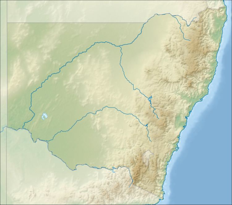 | ||
The Kindra Creek, a watercourse that is part of the Murrumbidgee catchment within the Murray–Darling basin, is located in the Riverina and South West Slopes regions of New South Wales, Australia.
Contents
Map of Kindra Creek, New South Wales, Australia
Course and featuresEdit
The Kindra Creek (technically a river) rises near Warre Warral trigonometry station southwest of Temora, sourced by runoff from the Great Dividing Range. The creek flows generally southwest and then northwest before reaching its confluence with the Mimosa Creek to form Redbank Creek (itself a tributary of a series of watercourses that combine to form an old anabranch of the Murrumbidgee River now part of an irrigation channel of the Murrumbidgee Irrigation Area), north of the locality of Ganmain. The creek descends 128 metres (420 ft) over its 60-kilometre (37 mi) course.