
Population 60 Civil parish Kilverstone Area 7.46 km² | OS grid reference TL892852 Sovereign state United Kingdom | |
 | ||
Kilverstone is a civil parish in the English county of Norfolk east of Thetford. It covers an area of 7.46 km2 (2.88 sq mi) and had a population of 60 in 25 households at the 2001 census. For the purposes of local government, it falls within the district of Breckland.
Contents
Map of Kilverstone, UK
Its church, St Andrew, is one of 124 existing round-tower churches in Norfolk.
Notable residents
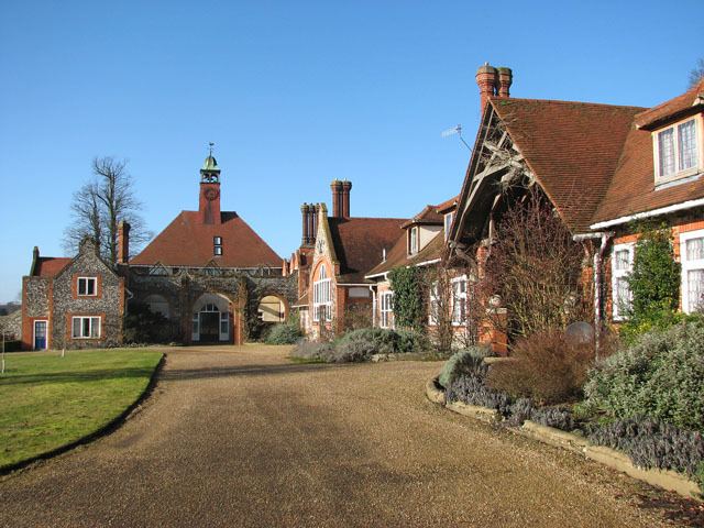
The great naval reformer Admiral Jacky Fisher (Baron Fisher of Kilverstone) lived at nearby Kilverstone Hall.
References
Kilverstone Wikipedia(Text) CC BY-SA