
Area 221.9 km² Local time Tuesday 2:35 AM Area code 01392 | Post code 049-0422 Population 5,531 (31 Mar 2009) | |
 | ||
Weather 2°C, Wind E at 21 km/h, 91% Humidity | ||
Kikonai (木古内町, Kikonai-chō) is a town located in Kamiiso District, Oshima Subprefecture, Hokkaido, Japan.
Contents
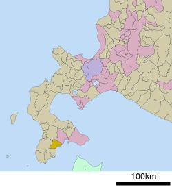
- Map of Kikonai Kamiiso District Hokkaido Prefecture Japan
- Geography
- Neighboring towns
- History
- Transportation
- Sister city
- References
Map of Kikonai, Kamiiso District, Hokkaido Prefecture, Japan
As of 2016, the town has an estimated population of 4,448 and a density of 20 persons per km². The total area is 221.88 km².
Geography
Kikonai is located on the southwest of the Oshima Peninsula and faces Tsugaru Strait.
Neighboring towns
History
Transportation
Kikonai's station, Kikonai Station, is located at the north end of the Seikan Tunnel, which connects the islands of Hokkaido and Honshū. The town government is actively promoting the development of the Hokkaidō Shinkansen and proposes offering intermodal service on the line.
Matsumae Line used to run from Kikonai but it was abolished in 1988. The section of Esashi Line from Kikonai to Esashi was also abolished in May 2014.
Sister city
References
Kikonai, Hokkaido Wikipedia(Text) CC BY-SA