 | ||
Similar Everest Base Camp, Khumbu Glacier, Ama Dablam, Kala Patthar, Lhotse | ||
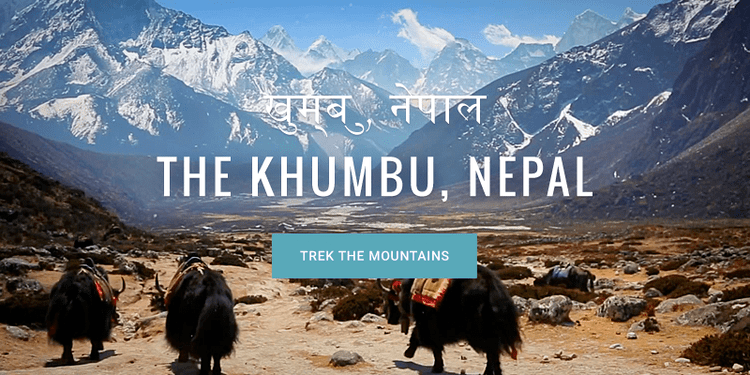
Trek the mountains of khumbu nepal in google maps
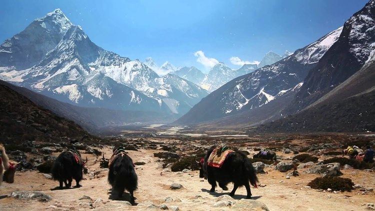
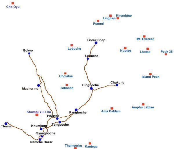
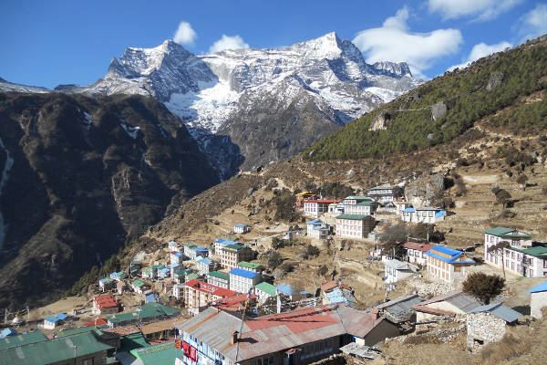
Khumbu (also known as the Everest Region) is a region of northeastern Nepal on the Nepalese side of Mount Everest. It is part of the Solukhumbu District, which in turn is part of the Sagarmatha Zone. Khumbu is one of three subregions of the main Khambu (specially Kulung) and Sherpa settlement of the Himalaya, the other two being Solu and Pharak. It includes the town of Namche Bazaar as well as the villages of Thame, Khumjung, Pangboche, Pheriche and Kunde. The famous Buddhist monastery at Tengboche is also located in the Khumbu.
Contents
- Trek the mountains of khumbu nepal in google maps
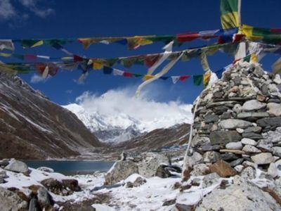
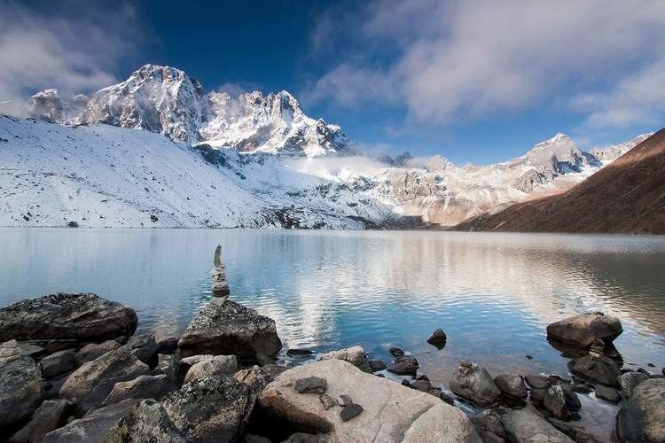
- Khumbu valley gokyo lakes 2012
- Villages in the Khumbu region
- References
The Khumbu's elevation ranges from 3,300 metres (11,000 feet) to the 8,848 m (29,029 ft) summit of Mount Everest, the highest place on Earth. The Khumbu region includes both Sagarmatha National Park (above Monju) and the Sagarmatha National Park Buffer Zone, between Lukla and Monju.
The Khumbu is a glacier believed to be the result of the last great Ice Age, ~500,000 years ago.
Lonely Planet has ranked Khumbu region in sixth best region in the world to travel.
Khumbu valley gokyo lakes 2012
Villages in the Khumbu region