
Region Jhelum Time zone PST (UTC+5) | ||
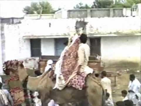 | ||
Kabbadi match khukha dina jehlum ch naja meelu dhunni kharian
Khukha is a big village in Jhelum District, Punjab, Pakistan. It is a Union Council, an administrative subdivision, of Jhelum Tehsil and is a "model" village. It is located at 33°0'0N 73°33'0E with an altitude of 259 metres (853 feet) and lies 7 km west of Dina, 5 km north of Rohtas and 10 km north east of Tilla Jogian. Many people from here have emigrated to all over the world. Approximately 500 live in the UK.
Contents
- Kabbadi match khukha dina jehlum ch naja meelu dhunni kharian
- Map of Khukha Pakistan
- Kabbadi match khukha dina jehlum chuadhry naja meelu dhunni kharian gujrat part 1
- References
Map of Khukha, Pakistan
The historical Grand Trunk Road (before the British made the tarmac road) runs from north to south on the west side of the village leading to Rohtas and then onto Jhelum. There is a Bavali (deep water well) made by the Mughals on this route about 1 km to the north west of the village. There is now a new water supply which uses a new bore-hole (located near Baba Sher Shah's darbar) from where water is pumped to the new water tank (located near the jamia masjid) and water is supplied to almost the entire village.
There is a religious school named Jamia Shamsia Zia Ul Quran in the village.
There have been many people who have gone abroad from Khukha.
The book about the Khukha history was compiled by Ch Muhammad Ayoub Norway and published by Anjum Sultans Shahbaz. The village has ancient mound speaking about the old times and its digging is still needed to unveil the past.