
Palestine grid 179/157 | ||
 | ||
Weather 10°C, Wind W at 19 km/h, 80% Humidity | ||
Khirbet Abu Falah (Arabic: خربة ابو فلاح) is a Palestinian village in the Ramallah and al-Bireh Governorate, located 26 kilometers (16 mi) north of Ramallah in the central West Bank. According to the Palestinian Central Bureau of Statistics (PCBS), the village had a population of 4,237 in the 2007 census.
Contents
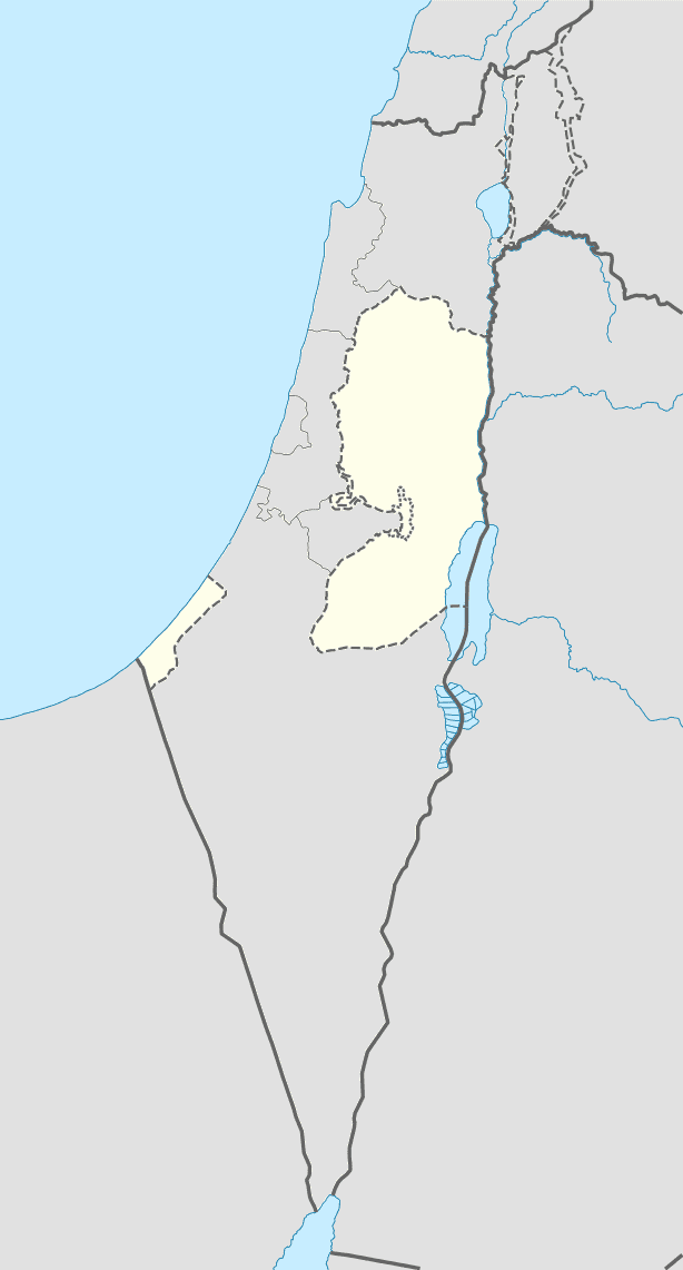
- Map of Khirbat Abu Falah
- Geography
- History
- Ottoman era
- British Mandate era
- 1948 67
- 1967 present
- Demographics
- Economy
- References
Map of Khirbat 'Abu Falah
Geography
Khirbet Abu Falah is situated in a hilly area in the central highlands of the West Bank and has an average elevation of 743 meters above sea level. It is located 15.7 kilometers northeast of Ramallah. The nearest localities are al-Mazraa al-Sharqiyah to the southwest, Turmus Ayya to the north, al-Mughayyir to the east and Kafr Malik to the south.
History
Shards from the Iron Age and Byzantine eras have been found here.
This place has earlier (by Prawer and Benvenisti, 1970) been identified with the Crusader place called Caphrapalos, however that is not an identification which Finkelstein accepts.
Ottoman era
A shard from the early Ottoman era was found, but Finkelstein finds the identification "questionable."
The modern village was re–founded in the 18th century. Prior to becoming a permanent settlement, it was khirba i.e. a temporary settlement. Khirbet Abu Falah became a permanent village when the Jaradat and Shu'man clans moved there from al-Mazraa al-Sharqiya as a result of a dispute with other clans in that village. The village was named after one of its leaders, Abu Falah.
An Ottoman village list from about 1870 showed the village, called Chirbet abu-fellah, had a population of 265, with a total of 58 houses, though the population count included men, only. It also noted it was located SE of Turmus Ayya.
In 1882, the Palestine Exploration Fund's Survey of Western Palestine (SWP) described it as: "a small hamlet on high ground, with ruins." They further noted, that it: "appears to be an ancient site; cisterns and an ancient birkeh, partly of good-sized masonry and partly cut in rock, exist here, with foundations. The place is still inhabited."
British Mandate era
In the 1922 census of Palestine conducted by the British Mandate authorities, the village had a population of 519, all Muslims, increasing slightly in the 1931 census where Khirbet Abu Falah had a population of 588, in 125 houses.
In 1945, the population was 710, all Muslims, while the total land area was 8,186 dunams, according to an official land and population survey. Of this, 3,080 were allocated for plantations and irrigable land, 1,615 for cereals, while 19 dunams were classified as built-up areas.
1948-67
In the wake of the 1948 Arab–Israeli War, and after the 1949 Armistice Agreements, Khirbet Abu Falah came under Jordanian rule.
1967-present
After the Six-Day War in 1967, Khirbet Abu Falah has been under Israeli occupation.
In 1998, a village council was established to administer Khirbet Abu Falah's civil affair. The council has nine members appointed by the Palestinian National Authority. The council is also included in the Joint Services Council, which is a cooperative board that also includes the villages of al-Mazraa al-Sharqiya, Kafr Malik and al-Mughayyir.
Demographics
Khirbet Abu Falah had a population of 2,900 in the 1997 census by the Palestinian Central Bureau of Statistics (PCBS). Palestinian refugees and their descendants accounted for 1.4% of the inhabitants. In the 2007 PCBS census, Khirbet Abu Falah's population grew to 3,966. The number of households was 620, with each household containing an average of between six and seven members. Women made up 49% of the population and men 51%.
The population is Muslim and there are three mosques in the village: the Old Mosque, the Eastern Mosque, and the Abu Ubeidah Mosque. The principal clans of Khirbet Abu Falah are Abu Murrah, Abu Falah, Al Fuqaha', Nazel, As Saraseer and Abu Hayyah. Since 2000, five families have emigrated from the village.
Economy
The largest source of employment in Khirbet Abu Falah is the services sector, which accounts for about 50% of the village's labor force. Other major sectors are government or professional employment (20%), agriculture (17%) and trade (10%). Industry, which accounts for 3% of Khirbet Abu Falah's labor, largely revolves around the local stone masonry industry. There are three quarries, 30 grocery stores, two produce stores, three butcheries and three professional workshops in the village. In 2011, the unemployment rate in Khirbet Abu Falah was 20%.
The village has a total area of 8,245 dunams. Built-up areas make up 8.4% of the village's land, while cultivable areas and open spaces constitute 56.4% and 35.1%, respectively. Of the cultivable areas, 3,981 dunams are planted with permanent crops, mainly olive trees and grains. About 5% of Khirbet Abu Falah's residents raise livestock and together own 835 sheep and 549 goats.