
 | ||
Similar Garo Hills, Living root bridges, Nohkalikai Falls, Umiam Lake, Elephant Falls | ||
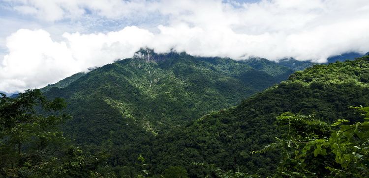
Meghalaya tourist spots mawjngih view point massar pynursla east khasi hills
The Khasi Hills /ˈkɑːsi/ are part of the Garo-Khasi range in the Indian state of Meghalaya (before 1970 part of Assam), and is part of the Patkai range and of the Meghalaya subtropical forests ecoregion. In older sources in particular, the alternative transcription Khasia Hills is seen.
Contents
- Meghalaya tourist spots mawjngih view point massar pynursla east khasi hills
- Map of Khasi Hills Meghalaya 793120
- Administration
- References
Map of Khasi Hills, Meghalaya 793120
The region is inhabited mainly by tribal Khasi dwellers, which are traditionally in various chieftainships, petty states known as the Khasi Hill States. One of its capitals, Cherrapunji, is considered one of the wettest places in the world.
The region came under the Khasi Hills district, which was divided into West Khasi Hills and East Khasi Hills districts on 28 October 1976.
The highest peak is Lum Shyllong which is 1968 meters high. It is situated a few kilometers south of Shillong town.
Administration
Administratively, the Khasi Hills used to be a part of the Khasil Hills district. The district was dividied into East Khasi Hills district and West Khasi Hills district on 28 October 1976. On 4 June 1992, the Ri-Bhoi District was carved out of the East Khasi Hills District.