
Country India Elevation 9 m Population 1,591 (2011) | Area 233 ha | |
 | ||
Time zone Indian Standard Time (UTC+5.30) Weather 22°C, Wind N at 11 km/h, 62% Humidity | ||
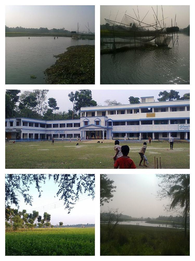
Kharua Rajapur (Bengali: খড়ুয়া রাজাপুর) is a small village in Kalupur gram panchayat in Bongaon of West Bengal, India.Pin code is 743245 .
Contents
Geography
Kharua Rajapur located at 23.73 N 88.79 E.It has an average elevation of 9 metres (30 ft).Kharua Rajapur is 15 kilometres (9.3 mi) from subdivition city Bangaon and 52 kilometres (32 mi) from District headquarter Barasat.Nearest railway station is Chandpara railway station at Chandpara.
Choita river are flowering in Kharua Rajapur.
Demographics
In the 2011 census Kharua Rajapur had a population of 1591 out of which 813 were males and 778 were females.In the Kharua Rajapur village population of children with age 0-6 is 151.Kharua Rajapur village literacy rate is 89.93.
Education
One higher secondary school and two primary school in Kharua Rajapur.