Vehicle registration MH-12 Local time Monday 7:10 AM | Time zone IST (UTC+5:30) | |
 | ||
Weather 19°C, Wind SE at 3 km/h, 35% Humidity | ||
Kharadi (Marathi खऱाडी), is a suburb located on the banks of Mula-Mutha river off MH SH 27 (Pune-Ahmednagar state highway) to the east of Pune city in India. A bypass road connecting Pune-Ahmednagar state highway to Pune-Solapur National highway passes through Kharadi. It is well connected to other parts of Pune city by PMPML buses.
Contents
- Map of Kharadi Pune Maharashtra
- Can you suggest good projects in kharadi and hadapsar property hotline
- Temples Mosques
- Companies
- HospitalsHealth Care
- Schools
- References
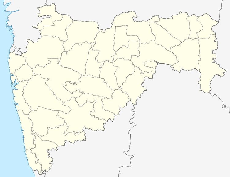
Map of Kharadi, Pune, Maharashtra
Can you suggest good projects in kharadi and hadapsar property hotline
Temples & Mosques
Companies
Hospitals/Health Care
Schools
References
Kharadi Wikipedia(Text) CC BY-SA
