
Primary inflows Basin countries Mongolia, Russia Surface elevation 1,157 m Catchment area 74,500 km² Length 72.2 km | Type freshwater Primary outflows Chono Kharaikh gol Max. length 72.2 km (44.9 mi) Area 1,578 km² Mean depth 2.2 m Volume 3.432 km³ | |
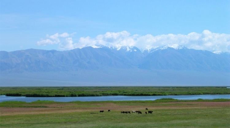 | ||
Khar-Us Lake (Mongolian: Хар-Ус нуур, lit. "black water lake") is a lake in western Mongolia in the Great Lakes Depression. It is the upper one in a system of the interconnected lakes: Khar-Us, Khar, Dörgön, Airag and Khyargas.
Map of Khar-Us Lake, Mongolia
Its area value (1,852 km²) includes the island Agbash (or Ak-Bashi, white head) area (274 km²), so the water surface area is 1,578 km² only.
Some sources are using different Khar-Us Lake Lake statistics values:
Primary inflow is the Khovd River, which creates a large river delta.
So called Genghis Khan's wall runs along the western shore of the Khar-Us Lake. It is possible to find it at the Google Map and Google Earth satellite maps 47°53′29″N 91°59′37″E.
References
Khar-Us Lake Wikipedia(Text) CC BY-SA