
Surface elevation 1,028 m Mean depth 47 m Volume 66.03 km³ | Primary outflows no Max. length 75 km (47 mi) Area 1,407 km² Length 75 km Width 31 km | |
 | ||
Primary inflows | ||
Delgermaa khatan ijii khyargas nuur hd
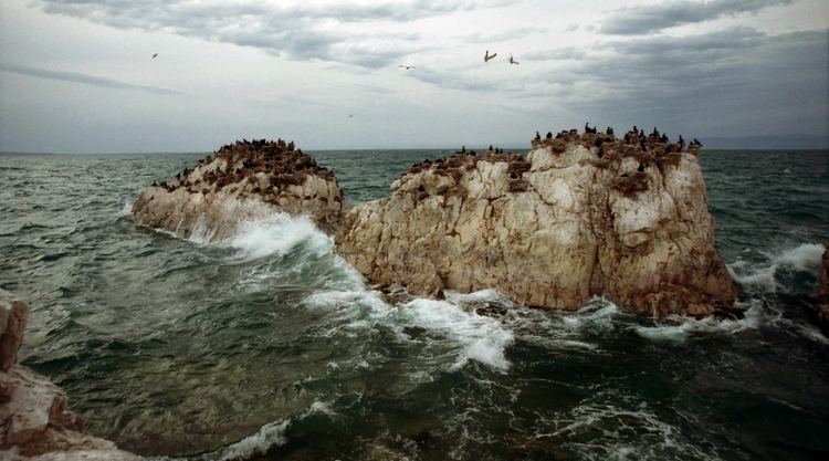
Khyargas Lake (Mongolian: Хяргас нуур, Hĭargas núr) is a salt lake in Khyargas district, Uvs Province, Western Mongolia.
Contents
Map of Khyargas Lake, Mongolia
Some sources are using different Khyargas Lake statistics values:
The Khyargas Lake National Park is based on the lake. This protected area was established in 2000 and covers about 3,328 km². It also includes a freshwater Airag Lake.
References
Khyargas Nuur Wikipedia(Text) CC BY-SA