
Local time Monday 9:32 AM | Settlement Khandyga Number of airports 1 | |
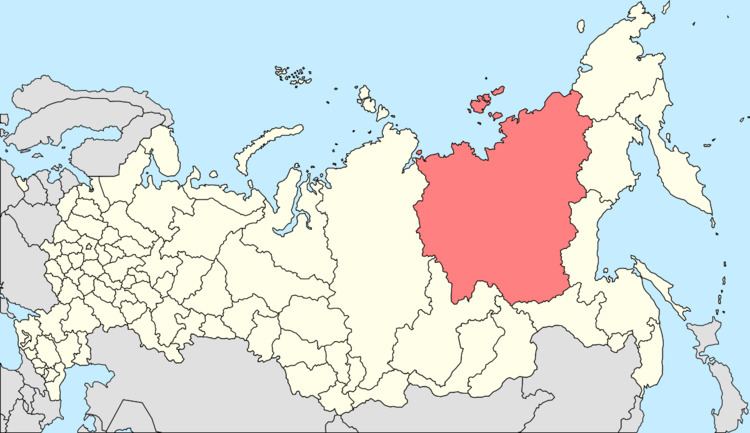 | ||
Municipal district Tomponsky Municipal District Weather -19°C, Wind N at 0 km/h, 64% Humidity | ||
Khandyga (Russian: Хандыга; Yakut: Хаандыга) is an urban locality (an urban-type settlement) and the administrative center of Tomponsky District in the Sakha Republic, Russia, located on the northeast corner of the Aldan River, where the river turns from north to west, the Kolyma Highway, 380 kilometers (240 mi) northeast of Yakutsk, the capital of the republic. As of the 2010 Census, its population was 6,638.
Contents
- Map of Khandyga Sakha Republic Russia 678720
- History
- Administrative and municipal status
- Transportation
- References
Map of Khandyga, Sakha Republic, Russia, 678720
History
It was founded in 1938 as a base for construction of the Kolyma Highway towards Magadan. During World War II, an airfield was built here for the Alaska-Siberian air route used to ferry American Lend-Lease aircraft to the Eastern Front. From 1951 until 1954, it served as a base for Yanstroy forced-labor camp of the gulag network.
In 1954, Khandyga became the administrative center of Tomponsky District. It was granted urban-type settlement status in 1957.
Administrative and municipal status
Within the framework of administrative divisions, the urban-type settlement of Khandyga serves as the administrative center of Tomponsky District. As an administrative division, it is incorporated within Tomponsky District as the Settlement of Khandyga. As a municipal division, the Settlement of Khandyga is incorporated within Tomponsky Municipal District as Khandyga Urban Settlement.
Transportation
There is summer hydrofoil service to Yakutsk. Khandyga is also served by the Teply Klyuch Airport (IATA: KDY).