
Kitgiri Established --> Third century Area 5 km² Local time Sunday 4:39 PM | Tehsil Kerakat Population 13,525 (2011) | |
 | ||
Weather 26°C, Wind W at 16 km/h, 25% Humidity | ||
Kerakat or Kirakat is a town of the Jaunpur District in northern India with a population of approximately 13,500. It is situated near the Gomati River, which helps the land around the town stay very fertile.
Contents
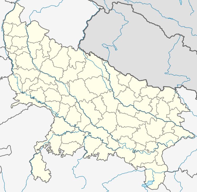
- Map of Kerakat Uttar Pradesh 222142
- About Kerakat Tehsil
- History
- Higher Education
- Education
- Rail
- Road
- Air
- Festivals
- Notable people
- Historic places and sights
- Film Shooting
- Constituency Area
- Demographics
- References
Map of Kerakat, Uttar Pradesh 222142
Kerakat or Kirakat Belongs to Varanasi Division and Jaunpur District Administration.. It is located 30 km east of the city of Jaunpur, and 279 km from Lucknow, the capital of Uttar Pradesh.
Kerakat or Kirakat Postal Index Number is 222142 and the postal head office is situated in City.Kerakat is Also a Block, Tehsil, Police Station, Nagar Panchayat and Vidhan Sabha.
About Kerakat Tehsil
Kirakat or Kerakat Tehsil Have Many Villages & Towns According to Census There Are 421 Villages Under Kerakat Subdistrict.
History
Kirakat or Kerakat was known As "'Kitgiri "'during the time of Lord Gautam Buddha. It was one of the active places used by Budhhist monks (including Lord Gautam Buddha) during the period of Gautam Buddha.
Kerakat means the fort on the cliff. It may also refer to Kerar Bir, the main deity of Jaunpur.
Higher Education
Kerakat has two college for higher education Sainik Girja Shankar Mahavidyalaya and Rajkiya Girls Degree college Kerakat(In Construction).
Education
. Little Angel children school kerakat
Rail
Kirakat railway station is a small railway station which belongs to the North Eastern Railway. The station Code is KCT. Many passenger trains, including expresses, stop at the station. Neighbourhood stations are Dobhi and Gangauli. The closest major station are Jaunpur Junction Railway Station, Varanasi Junction and Aunrihar Junction.
Road
Driving distance from Kerakat to District headquarters Jaunpur is 30 km. Kerakat is also well connected by road to Varanasi, Azamgarh, Ghazipur and other cities of Uttar Pradesh.
Air
The closest major airport to Kerakat is Lal Bahadur Shastri Airport at Varanasi, 35 km by road. Another nearby airport is Azamgarh Airport.
Festivals
The biggest celebrations in Kerakat are Durga Pooja & Bharat Milap and the yearly animal fair in Narhan village. Pupils also organise big celebrations on other occasions including Eid al-Fitr, Holi, Ramzan, Diwali and Raksha Bandhan.
Notable people
Ravi Kishan Shukla, an actor in Bhojpuri cinema and Bollywood, is from Kerakat.
Historic places and sights
Film Shooting
Constituency Area
There Are One Lok Sabha And VidhanSabha Kshetra.
Demographics
As of 2001 India census, Kerakat post had a population of around 5 lakhs. Males constitute 52% of the population and females 48%. Kerakat has an average literacy rate of 70%, higher than the national average of 59.5%: male literacy is 75%, and female literacy is 62%. In Kerakat, 17% of the population is under 6 years of age.