
 | ||
South end 206th Street (20600 S) in Olympia Fields | ||
Cta 52a south kedzie avenue bus nb trip route from 115th springfield to orange line 01 13 17
Kedzie Avenue is a major north-south street in Chicago, Illinois.
Contents
- Cta 52a south kedzie avenue bus nb trip route from 115th springfield to orange line 01 13 17
- Map of Kedzie Ave Illinois USA
- Homes for sale 3824 south kedzie avenue chicago brighton park il 60632
- Mass transit CTA
- References
Map of Kedzie Ave, Illinois, USA
Named for John H. Kedzie, an early Chicago real-estate developer, Kedzie extends more than 20 miles from the southern suburb of Olympia Fields to Bryn Mawr Avenue (5600 North), and again from Lincoln Avenue (6100 North) to the Evanston border at Howard Street (7600 North). In Chicago's street grid, Kedzie Avenue is located at 3200 West.
Between Palmer Street (2200 North) and Logan Boulevard (2600 North), Kedzie Avenue is part of Chicago's boulevard system and, as such, is signed as Kedzie Boulevard.
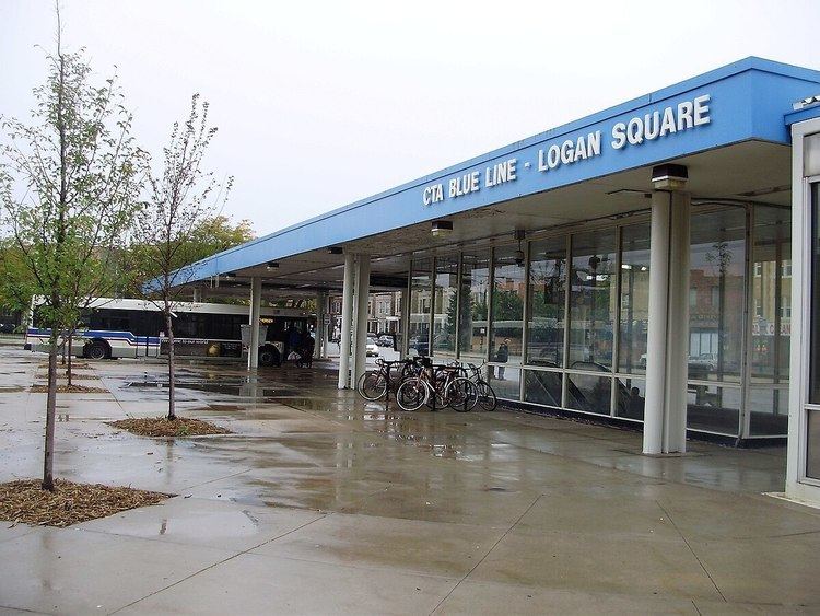
On its path through the city, Kedzie passes through the neighborhoods of (from south to north) Mount Greenwood, Ashburn, Chicago Lawn, Gage Park, Brighton Park, Little Village, Lawndale, East Garfield Park, Humboldt Park, Logan Square, Avondale, Irving Park, Albany Park, North Park and West Ridge.
Pop Culture References
Kedzie Avenue was referenced by Stunt Taylor in "Fe Fe On The Block" which references street parties, held on Kedzie, known as "Fe Fes".