
Length 85.3 km | North end: Galiraya | |
 | ||
History: Expected designation in 2016Expected completion in 2020 | ||
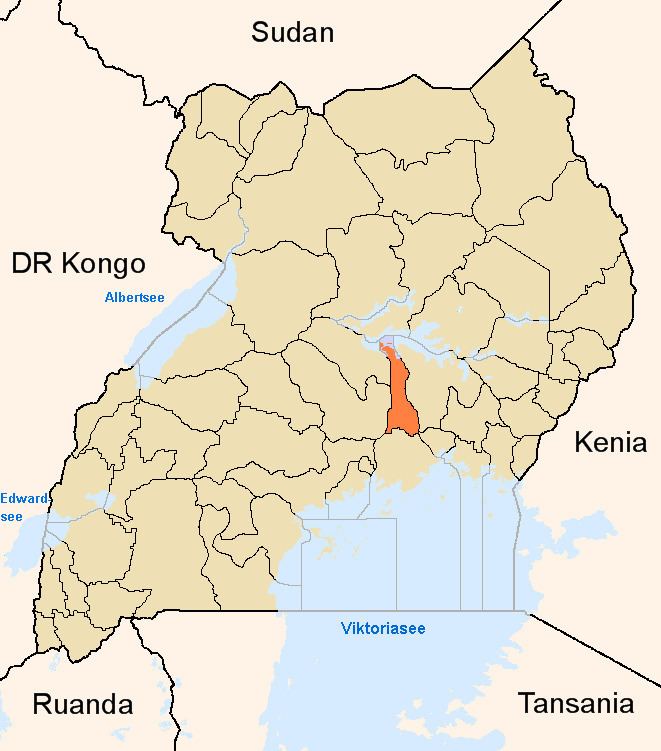
Kayunga–Galiraya Road is a road in the Central Region of Uganda connecting the town of Kayunga to the towns of Bbaale and Galilaya (Galiraya) on the shores of Lake Kyoga.
Contents
Location
The road starts at Kayunga, continues north through Bbaale, and ends in Galiraya on the shores of Lake Kyoga, a distance of approximately 85 kilometres (53 mi). The road connects the southern part of Kayunga District to the northern part of the district and forms the main road in the area. It runs in a south to north direction, with River Sezibwa to its west and the Victoria Nile to the road's east. The coordinates of the road near Bbaale are:0°50'49.0"N, 32°52'44.0"E (Latitude:0.846944; Longitude:32.878889).
Upgrading to bitumen
The government of Uganda has earmarked this road for upgrading from gravel to bitumen surface and the building of bridges and drainage channels. In July 2009, the government received funding from the African Development Bank (ADF), to engage consulting engineering firms to conduct detailed feasibility studies. The following consulting engineering firms have been shortlisted:
As of November 2014, project preparation was ongoing.