
Time zone EAT (UTC+3) Local time Friday 1:48 AM | Sub-county Galilaya Sub-county Elevation 1,040 m | |
 | ||
Weather 21°C, Wind S at 8 km/h, 84% Humidity | ||
Galilaya jbm s band
Galilaya is a town in the Kayunga District of the Central Region of Uganda. The town is also known by its correct phonetic spelling, as Galiraya.
Contents
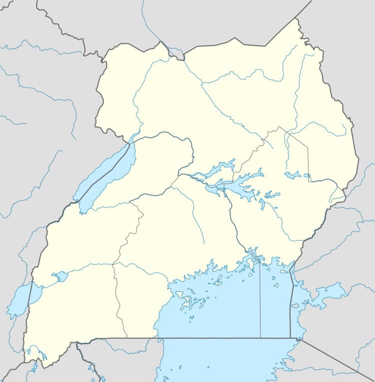
Map of Galiraya, Uganda
Location
Galilaya is in extreme northern Kayunga District, at the northern end of the Kayunga-Galilaya Road. This is approximately 83 kilometres (52 mi), by road, north of Kayunga, where the district headquarters are located. The travel distance between Galilaya and Kampala, the capital of Uganda, is approximately 145 kilometres (90 mi) by road. The coordinates of Galiraya are:1°22'12.0"N, 32°48'54.0"E (Latitude:1.3700; Longitude:32.8150).
Overview
Galilaya is the location of the headquarters of Galilaya Sub-county, one of the four sub-counties in Bbaale County, a constituent of Kayunga District. The town is one of the northern-most urban centers in the Central Region. Galilaya is close to the point where the Victoria Nile enters Lake Kyoga, to the east of town. Not far from the town center, to the west of town, the River Sezibwa also enters Lake Kyoga after its 150 kilometres (93 mi) northward journey.
Points of interest
The following points of interest lie within the town or close to its borders: