
Elevation 1,598 m | Easiest route Mountaineering Trek Prominence 1,598 m | |
 | ||
Listing US most prominent peak 110th First ascent Ancient Hawaiians (Unknown Time) Similar Mount Waialeale, Kamakou, Ka'ala, Mount Igikpak, Mount Chiginagak | ||
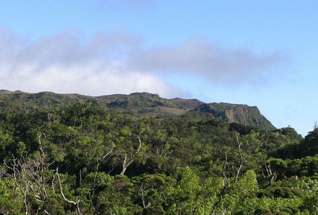
Kawaikini is the highest point on the Hawaiian Island of Kauai and in Kauai County and measures 5,243 feet (1,598 m) in elevation. It is the summit of the island's inactive central shield volcano, Mount Waialeale. Other peaks on Kauai include: Waialeale (5,148 feet), Namolokama Mountain (4,421 feet), Kalalau Lookout (4,120 feet), Keanapuka Mountain (4,120 feet), Haupu (2,297 feet) and Nounou (1,241 feet).
Contents
Map of Kawaikini, Hawaii 96741, USA
DescriptionEdit
A rain gauge placed on the nearby Waialeale lake records daily rainfall and regularly lands Kauai's peaks on the National Climatic Data Center's list of places averaging the highest annual rainfall. This high rainfall makes reaching the summit difficult on most days.
The rain is not the only barrier to reaching Kawaikini. The Alakai Wilderness Preserve is located to the west and its miles of dense, swampy forest limit access to the summit. To the north, east, and south, Kawaikini is protected by steep, wet cliffs.
EtymologyEdit
Ka wai kini literally translates to "the multitudinous water" in the Hawaiian language, referring to the island's high rainfall.