
Local time Saturday 8:09 AM | Elevation 1,300 m | |
 | ||
Weather 21°C, Wind SE at 5 km/h, 89% Humidity | ||
Katunguru, is a small town in Rubirizi District, Ankole sub-region, in the Western Region of Uganda.
Contents
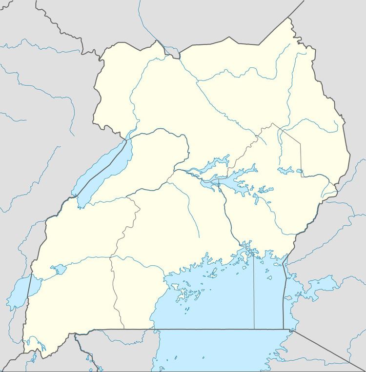
Map of Katunguru, Uganda
Location
Katunguru is just south of the equator, on the Kikorongo–Ishaka Road. The town is approximately 19 kilometres (12 mi), by road, north of Rubirizi, the location of the district headquarters. This is on the southern banks of the Kazinga Channel, which links Lake George with Lake Edward, and forms the border between Kasese District to the north and Rubirizi District to the south. Katunguru lies within the boundaries of Queen Elizabeth National Park, about 41 kilometres (25 mi), by road, south of Kasese, the nearest large town. The coordinates of Katunguru, Uganda are:0°08'49.0"S, 30°03'46.0"E (Latitude:-0.146956; Longitude:30.062770).
Points of interest
The following points of interest are found within the town limits or close to its edges: