
Vehicle registration JH Population 82,385 (2011) | Time zone IST (UTC+5:30) | |
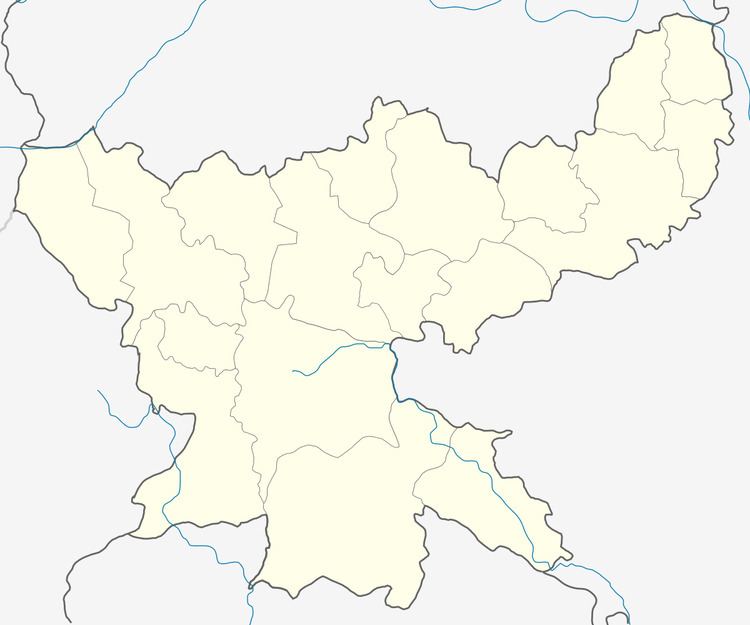 | ||
Katkamdag is a community development block that forms an administrative division in the Hazaribagh Sadar subdivision of Hazaribagh district in the Indian state of Jharkhand.
Contents
Map of Katkamdag, Jharkhand 825302
Geography
Katkamdag is located at 23°58′53″N 85°17′29″E.
Demographics
As per 2011 Census of India Katkamdag CD Block (referred to in census data as Katamdag) had a total population of 82,385, of which 60,150 were rural and 13,235 were urban. There were 42,581 males and 39,804 females. Scheduled Castes numbered 17,309 and Scheduled Tribes numbered 2,604.
Masratu and Kadma are census towns in Katkamdag CD Block.
Literacy
As per 2011 census the total number of literates in Katkamdag CD Block was 48,234 out of which 28,116 were males and 20,118 were females.
References
Katkamdag (community development block) Wikipedia(Text) CC BY-SA