
Population (2002 Census) 12,000 inhabitants Local time Saturday 2:28 AM | Time zone MSK (UTC+03:00) | |
 | ||
Administrative center of Suleyman-Stalskiy District Head Nezhvelidov Gamid-Efendi Pashaevich Weather 2°C, Wind W at 5 km/h, 96% Humidity | ||
Kasumkent low cars
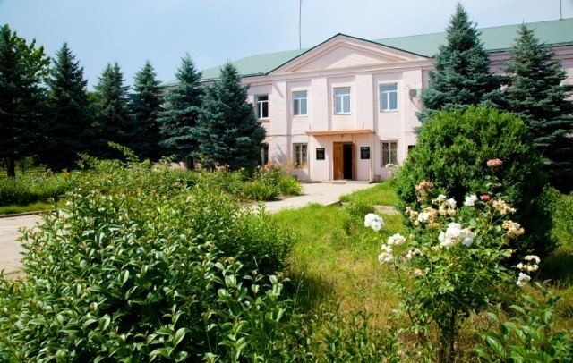
Kasumkent - (Russian: Касумкѐнт) Lezgian.: Кьасумхуьр is a village and the administrative center of Suleyman-Stalsky District of Republic of Dagestan, Russia. It is located 187 km southward from the capital of the Republic - Makhachkala. It is the biggest inhabited locality in Suleyman-Stalsky District, with a population of 12 000 (2002 Census);
Contents
Map of Kasumkent, Dagestan Republic, Russia
Kasumkent
Locality
The village is located in south part of Dagestan, to the north from strategic river - Samur, between the rivers Chiragchay and Kurah. Kasumkent is located 183 kilometers to the south from republic administrative centre Makhachkala, and 38 kilometers from Derbent.
History
The village was founded by a mountaineer named Kasum. Some hundred of years ago he built a house for himself on the coast of Chiragchay-river among high trees. Later people from nearest lands started to move on that territory. Due to the census of 1886 year there was in the village 116 houses, population was 623: 316 men and 307 women. Before the Octobre Revolution there was in the village two mosques, functioned a two-year school. Now it is one of the biggest district centres of the Republic.