
Country India District Purnia Lok Sabha constituency Purnia Population 25,522 (2001) ISO 3166 code ISO 3166-2:IN | State Bihar Time zone IST (UTC+5:30) Vidhan Sabha constituency Kasba Local time Saturday 2:05 AM | |
 | ||
Weather 21°C, Wind NE at 13 km/h, 90% Humidity Similar Banmankhi Bazar, Bhawanipur Rajdham, Purnia | ||
Kasba is a town and a notified area in Purnia district in the Indian state of Bihar.
Contents
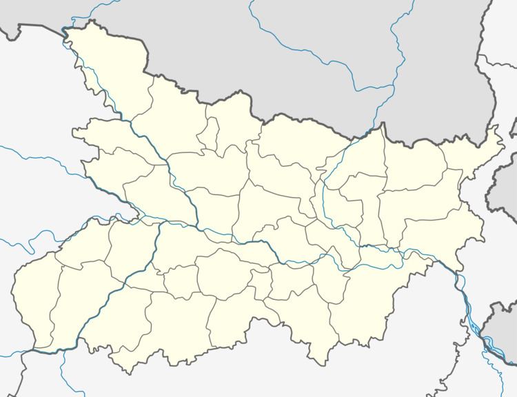
Map of Kasba, Bihar
Demographics
As of 2001 India census, Kasba had a population of 25,522. Males constitute 53% of the population and females 47%. Kasba has an average literacy rate of 49%, lower than the national average of 59.5%: male literacy is 57%, and female literacy is 41%. In Kasba, 18% of the population is under 6 years of age.
It is the oldest district in the state of Bihar . In 1912, Bihar and Orissa were carved as separate provinces out of the old Bengal Province and Purnia became the district of the new provincial unit. Before the state reorganization in 1956, Purnia was contiguous to East Pakistan . The area of this district was about 4239 square miles. Buchanan Hamilton the first historian-geographer of India visited Purnia in 1801-10.
Geographical location
Situated in the North Eastern part of Bihar, Kasba lies between 87.5' Eastern Longitude and 25.8 Degree North Latitude. Covers 0.5% (30 km2) of the state's area. Kasba can be broadly divided into two physiographic units, the Plains and the Plateau. A land endowed with minerals, fertile green fields, peace fallboard force, vast market and a political system committed to industrial growth