
Population 25,183 (2001) | Time zone IST (UTC+5:30) Vidhan Sabha constituency Banmankhi Local time Thursday 6:56 AM | |
 | ||
Weather 18°C, Wind E at 2 km/h, 73% Humidity | ||
Banmankhi Bazar is a town and a notified area in Purnia district in the state of Bihar, India.
Contents
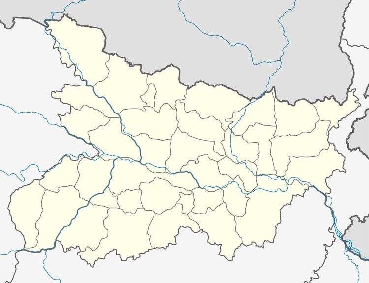
Map of Banmankhi Bazar, Bihar 854202
Geography
Banmankhi is situated 32 km away from Purnea, the district town.
Banmankhi is a Sub-division.
Demographics
As of 2001 India census, Banmankhi Bazar had a population of 25,183. Males constitute 55% of the population and females 45%. Banmankhi Bazar has an average literacy rate of 52%, lower than the national average of 59.5%; with 64% of the males and 36% of females literate. 18% of the population is under 6 years of age.
Economy
Banmankhi Bazar is well known for a sugar manufacturing facility, but it is currently not functioning and is closed. The facility provided employment to many persons.
Education
Private: Saraswati Shishu Mandir is the best School in this area and there after a numbers of school open such as Sant Paul's Mission School for primary and middle schooling. Public: Sumrit High school: 6-10+2(co-ed) most popular school in banmankhi.Sumrit is the one of the best school in Purnea District,
MatuRam Kanya Uccha Vidyalaya: 6-10 (female),G. L. M. College: Higher Education (co-ed),
J.C. Science College