
Length 214 km | ||
 | ||
History: Designated 2001Expected completion in TBD | ||
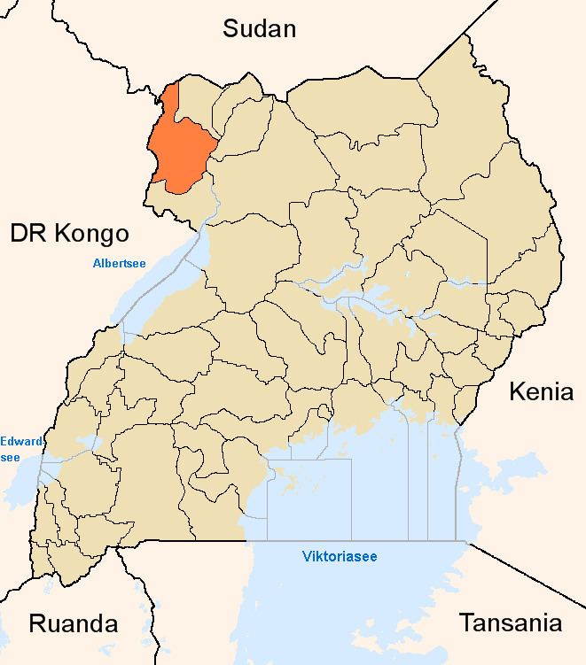
The Karuma–Olwiyo–Pakwach–Nebbi–Arua Road is a road in the Northern Region of Uganda, connecting the towns of Karuma, Olwiyo, Pakwach, Nebbi and Arua.
Contents
Location
The road starts at Karuma, and proceeds in a northwesterly direction through Olwiyo, crossing the Albert Nile at Pakwach, going through Nebbi and ending at Arua, a total distance of approximately 214 kilometres (133 mi). However, the roadworks as contracted , measured 237 kilometres (147 mi).
Upgrading to bitumen
In 2001, the government of Uganda borrowed US$64.5 million (USh100 billion at that time), from the International Development Association, to upgrade this road to class II bitumen surface, with drainage channels, culverts and shoulders. The work as completed in sections, starting with the Arua–Nebbi section, which was completed in December 2003. It continues to undergo periodic maintenance and rehabilitation.