
Local time Tuesday 3:36 AM | Elevation 623 m | |
 | ||
Weather 24°C, Wind SE at 3 km/h, 74% Humidity | ||
Solar eclipse build up nebbi s pakwach town gets facelift
Pakwach is a town in the Northern Region of Uganda.
Contents
- Solar eclipse build up nebbi s pakwach town gets facelift
- Map of Pakwach Uganda
- Total solar eclipse as viewed from pakwach nebbi district uganda
- Location
- Population
- 2013 total solar eclipse
- Points of interest
- References
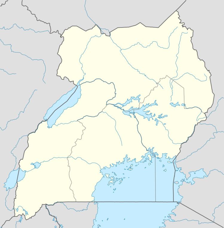
Map of Pakwach, Uganda
Total solar eclipse as viewed from pakwach nebbi district uganda
Location
Pakwach is in Nebbi District, West Nile sub-region. It is approximately 112 kilometres (70 mi), by road, southeast of Arua, the largest town in the sub-region. This is along the western bank of the Albert Nile, approximately 121 kilometres (75 mi), by road, southwest of Gulu, the largest city in the Northern Region. The coordinates of Pakwach are 2°27'43.0"N, 31°29'54.0"E (Latitude:2.461944; Longitude:31.498333).
Population
The 2002 national census estimated the population of the town at 17,625. The Uganda Bureau of Statistics (UBOS) estimated the population 21,700 in 2010. In 2011, UBOS estimated the mid-year population of at 22,300. In 2014, the national population census put the population at 22,360.
2013 total solar eclipse
On 3 November 2013, Pakwach was the centre of Uganda's solar eclipse celebrations. Thousands of locals were joined by solar eclipse tourists and professional observers. The official celebration, which took place at a primary school 10 kilometers from the town of Pakwach, was attended by three kings (Rwothi), Uganda's President Museveni, and cabinet ministers.
Points of interest
The following additional points of interest lies within the town limits or near its edges: