
Basin area 1,448 km² Country Australia | Area 17.9 km² Mouth elevation 0 | |
 | ||
- left Martins Creek (New South Wales), Lawlers Creek, Mammy Johnsons River, Mill Creek (New South Wales), Alderley Creek, Booral Creek, Snapes Creek, The Branch River - right Whispering Gully, Telegherry River, Scotters Creek, Deep Creek (New South Wales), Limeburners Creek Similar Broughton Island, Port Stephens, Wallarobba railway station, Black Bulga State Conserva, The Glen Nature Reserve | ||
Karuah River, an open semi-mature tide dominated drowned valley estuary of the Mid-Coast Council system, is located in the Mid North Coast and Hunter regions of New South Wales, Australia.
Contents
- Map of Karuah River New South Wales Australia
- Karuah river 4wding lc76 80
- Course and features
- Etymology
- References
Map of Karuah River, New South Wales, Australia
Karuah river 4wding lc76 80
Course and features
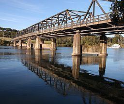
Karuah River rises on the southeastern slopes of Gloucester Tops of the Great Dividing Range, below The Mountaineer, southwest of Gloucester, and flows generally southeast and south. joined by eleven tributaries including the Telegherry, Mammy Johnsons, and The Branch rivers, before reaching its mouth within Port Stephens at Karuah, and then flows out to the Tasman Sea of the South Pacific Ocean. The river descends 600 metres (2,000 ft) over its 101 kilometres (63 mi) course.
Etymology
Initially named Clyde by Lachlan Macquarie, the use of the Aboriginal name became prevalent subsequently.