
Population 1,327 (2011 census) Time zone AEST (UTC+10) Area 73.7 km² Local time Saturday 5:59 AM Parish Tarean Road | Postcode(s) 2324 Postal code 2324 Federal division Division of Paterson | |
 | ||
Location 192 km (119 mi) NNE of Sydney52 km (32 mi) NNE of Newcastle27 km (17 mi) NE of Raymond Terrace112 km (70 mi) SSW of Forster/Tuncurry Weather 17°C, Wind W at 13 km/h, 91% Humidity | ||
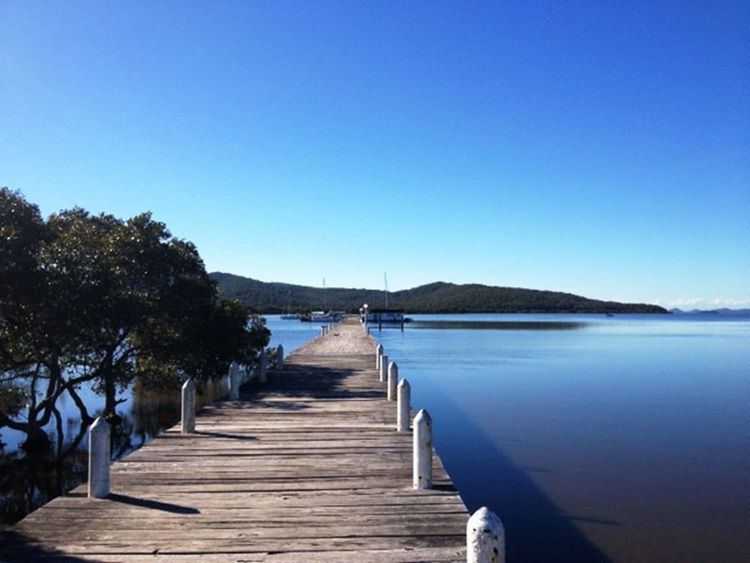
Karuah is a locality in both the Port Stephens and Mid-Coast Councils in the Hunter Region of New South Wales, Australia. It is thought that the name means 'native plum tree' in the local Aboriginal dialect.
Contents
Map of Karuah NSW 2324, Australia
Geography
Karuah is split between the Port Stephens and Mid-Coast councils with most (approximately 51%) located in the Port Stephens Council area. The village of Karuah is also split between the two councils with almost all of the village located in Port Stephens Council. The Karuah River, which runs approximately north to south through the centre of Karuah, forms the border between the two councils within the locality. Karuah is located at the north-western corner of Port Stephens into which the Karuah River feeds.
Demographics
The largest settlement within the locality is the village of Karuah, which is on the old Pacific Highway and straddles the Karuah River. Most of the village, which occupies only about 0.7 square kilometres (0.3 sq mi) of the suburb's total area of 74.7 km2 (28.8 sq mi), lies within the Port Stephens LGA. It includes the largest Aboriginal community in the Port Stephens LGA and, at the 2006 Census, had a population of approximately 857. The rest of the suburb's population live in the rural properties which surround the village.
The Karuah bridge was built and opened in December 1957. In 2004, the Karuah Bypass was opened which, as part of the AusLink program, speeds up car and truck travel times past the township but left the town a backwater.
Karuah village has long been known for its oysters, and a number of oyster shops line the old Pacific Highway within the town.